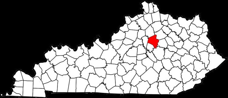
Country United States Time zone Eastern (EST) (UTC-5) Local time Saturday 6:33 PM Area code 859 | Area 50 ha Population 799 (2000) ZIP code 40502, 40503 | |
 | ||
Weather 8°C, Wind N at 10 km/h, 74% Humidity | ||
Zandale is a neighborhood in southeastern Lexington, Kentucky, United States. Its boundaries are Nicholasville Road to the west, Zandale Drive to the north, Bellefonte Drive to the east, and a combination of Larkin Road, Heather Way, Melbourne Way, and Lowry Lane to the south.
Contents
Map of Zandale, Lexington, KY 40503, USA
Neighborhood statistics
References
Zandale, Lexington Wikipedia(Text) CC BY-SA
