
Country Canada Elevation 320 m Population 93 (2011) | Time zone MST (UTC-7) Area 19.34 km² Local time Saturday 2:30 PM | |
 | ||
Weather 8°C, Wind W at 16 km/h, 48% Humidity | ||
Zama City is a hamlet in northwestern Alberta, Canada within Mackenzie County.
Contents
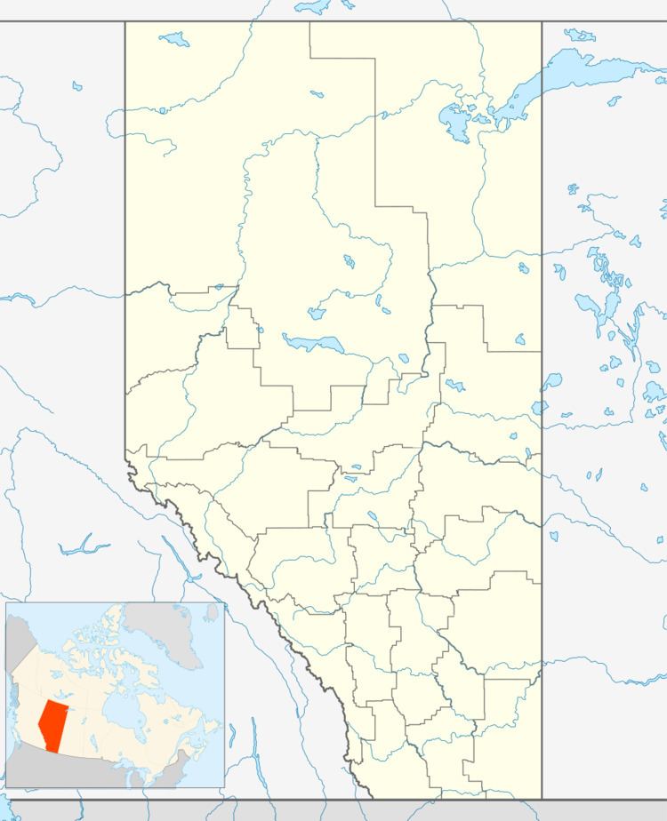
Map of Zama City, AB, Canada
It is located north of Zama Lake along Zama Road, which branches off the Mackenzie Highway (Highway 35) approximately 80 kilometres (50 mi) north of High Level.
The hamlet is located in census division No. 17 and in the federal riding of Peace River.
Demographics
As a designated place in the 2016 Census of Population conducted by Statistics Canada, Zama City recorded a population of 74 living in 34 of its 61 total private dwellings, a change of −20.4% from its 2011 population of 93. With a land area of 21.68 km2 (8.37 sq mi), it had a population density of 3.4/km2 (8.8/sq mi) in 2016.
As a designated place in the 2011 Census, Zama City had a population of 93 living in 36 of its 74 total dwellings, a -58.7% change from its 2006 population of 225. With a land area of 19.34 km2 (7.47 sq mi), it had a population density of 4.809/km2 (12.45/sq mi) in 2011.
Economy
It is based mainly around the oil and gas industry. A major oil pipeline connects Zama City with Norman Wells in the Northwest Territories.
Transportation
Two airstrips serve the community, Zama Airport (CEX5) and Zama Lake Airport (CFT9).