
Time zone CET (UTC+1) Area 9.55 km² Population 345 (2006) | Elevation 466 m Local time Saturday 10:24 PM | |
 | ||
Weather 11°C, Wind SW at 8 km/h, 76% Humidity | ||
Zalužany (German Saluschan) is a village and municipality in Příbram District in the Central Bohemian Region of the Czech Republic. It is situated on the border between the Central Bohemian Region and the South Bohemian Region, some 20 kilometres from the District town of Příbram, not far from the Orlík Dam. Along the side of the village runs the I/4 road that connects the Czech capital Prague with the cities of Písek and Strakonice and with Germany.
Contents
Map of 262 84 Zalu%C5%BEany, Czechia
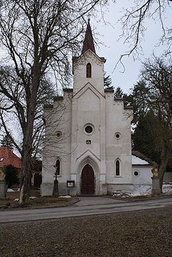
The village has an oblong commons with a preserved historical center with vernacular architecture buildings. The municipality covers an area of 9.55 km² and as of 2006 it had a population of 345 people.
History
There had been a Slavic settlement around Zalužany as soon as in the 8th century.
In 13th century Zalužany belonged under the administration of the royal castle of Kamýk nad Vltavou.
The first written document about the village dates from the year 1291 when king Wenceslas II donated it to the Ostrov monastery near Davle.
In the 14th century the village had been divided in two parts. The smaller one belonging under the administration of the royal castle of Orlík and the larger one was consecutively owned by a line of noble families. It continues like this during the following centuries.
Zalužany acquired its full autonomy in 1848.