
Time zone CET (UTC+1) Website www.zaltbommel.nl Area code 0418 Local time Saturday 10:20 PM | Elevation 3 m (10 ft) Postcode 5300–5311, 5315–5318 Area 89.04 km² | |
 | ||
Weather 10°C, Wind SE at 5 km/h, 92% Humidity Points of interest Stadskasteel Zaltbommel, Lucas van blaaderen, Oudemannen‑ en vrouwenhuis | ||
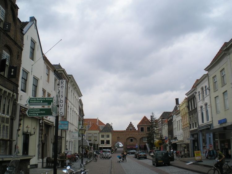
Zaltbommel ( [zɑltˈbɔməl]) is a municipality and a city in the Netherlands.
Contents
Map of Zaltbommel, Netherlands
Zaltbommel was expanded to its current size on 1 January 1999, by a merger of the municipalities of Brakel, Kerkwijk and Zaltbommel. The municipality is situated in the heart of the Netherlands, close to the A2 Motorway, the railway line from Utrecht to 's‑Hertogenbosch and the rivers Waal and Maas.
Dutch Topographic map of Zaltbommel (municipality), Sept. 2014
Population centres
The municipality, consists of 13 population centres and had a population of 27,242 in 2014.
The city of Zaltbommel
The town of Zaltbommel was first mentioned as "Bomela" in the year 850. Zaltbommel received city rights in 1231 and these were renewed in 1316.
Notable residents
References
Zaltbommel Wikipedia(Text) CC BY-SA