Country Myanmar Elevation 37 m Max length 1.3 km | Area 80 ha Max width 500 m | |
 | ||
Time zone Myanmar Standard Time (UTC+6:30) | ||
Zalat Taung is an island off the coast of Rakhine State, Burma.
Contents
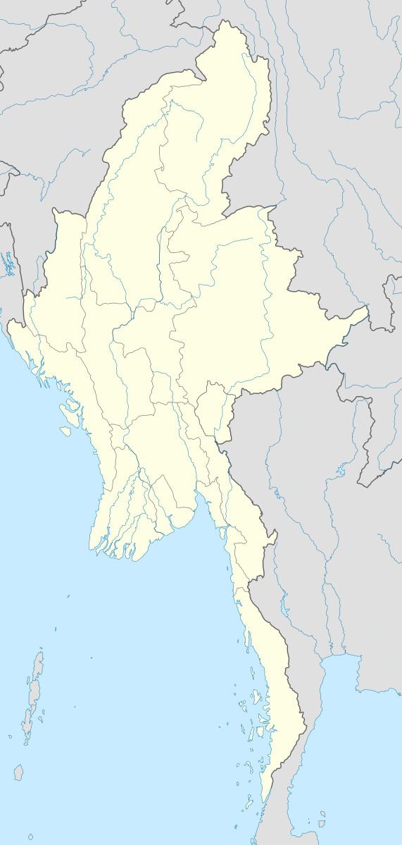
Map of Zalat Taung, Myanmar (Burma)
Geography
Zalat Taung is 1.3 km (0.8 mi) long and 0.5 km (0.3 mi) wide. The island is sparsely wooded and rises to a height of 37 m (121 ft) above sea level. It has a small settlement by its north-facing cove. It is separated from the Rakhine coast by a 0.6 km (0.4 mi) wide sound.
Zalat Taung is located at the mouth of the Sandoway (Thandwe) river.
References
Zalat Taung Wikipedia(Text) CC BY-SA
