
 | ||
Zabergan Peak (Bulgarian: връх Заберган, ‘Vrah Zabergan’ \'vr&h za-ber-'gan) is the rocky peak rising to 700 m on Foyn Coast, Antarctic Peninsula, and surmounting Beaglehole Glacier to the northeast and Friederichsen Glacier to the southwest.
Contents
Map of Zabergan Peak, Antarctica
The feature is named after the Bulgar ruler Zabergan (6th century).
Location
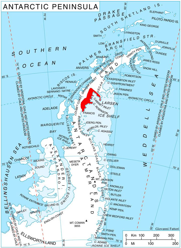
Zabergan Peak is located at 66°37′00″S 64°06′29″W, which is 7.06 km south of Chuypetlovo Knoll, 9.3 km west of Takev Point and 2.2 km northwest of Varad Point. British mapping in 1976.
Maps
References
Zabergan Peak Wikipedia(Text) CC BY-SA