
 | ||
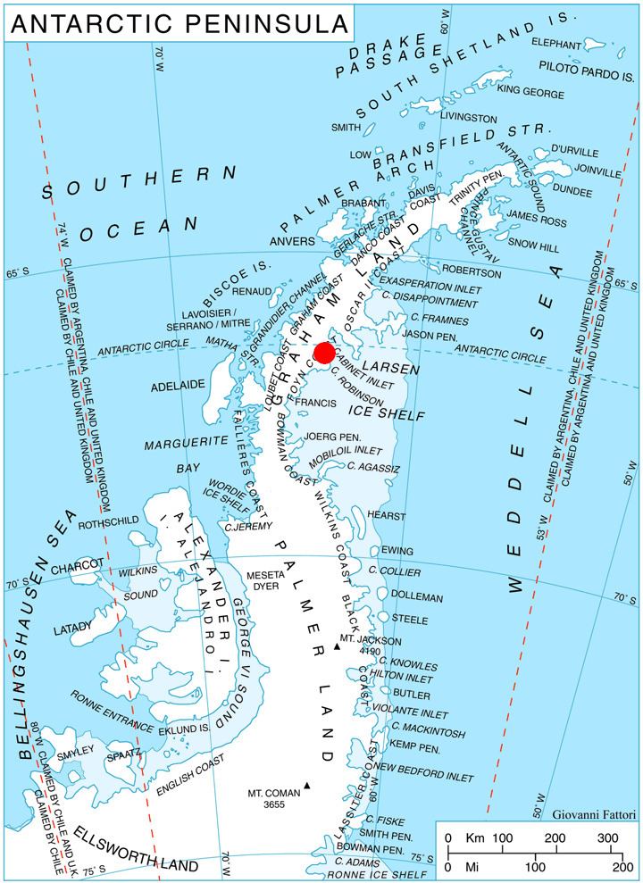
Takev Point (Bulgarian: Такев нос, ‘Takev Nos’ \'ta-kev 'nos) is the rocky point forming the south extremity of Heros Peninsula on Foyn Coast, Antarctic Peninsula.
Contents
The feature is named after Vasiliy Takev, participant in the 1996/97 Bulgarian Antarctic campaign, for his support for the Bulgarian Antarctic programme.
Location
Takev Point is located at 66°36′17″S 63°54′04″W, which is 4.65 km west-southwest of Spur Point and 8.17 km east-northeast of Varad Point. British mapping in 1974.
Maps
References
Takev Point Wikipedia(Text) CC BY-SA