
Area 41.43 km² | ||
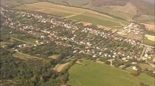 | ||
Zámutov (Hungarian: Opálhegy) is a village and municipality in Vranov nad Topľou District in the Prešov Region of eastern Slovakia.
Contents
Map of Z%C3%A1mutov, Slovakia
History
In historical records the village was first mentioned in 1402. OLD NAMES of the village(town): 1808, 1863–1902 Zamutó, 1907–1913 Opálhegy, 1920– Zámutov
Geography
The municipality lies at an elevation of 250 metres and covers an area of 41.439 km². It has a population of about 2776 people.
References
Zámutov Wikipedia(Text) CC BY-SA