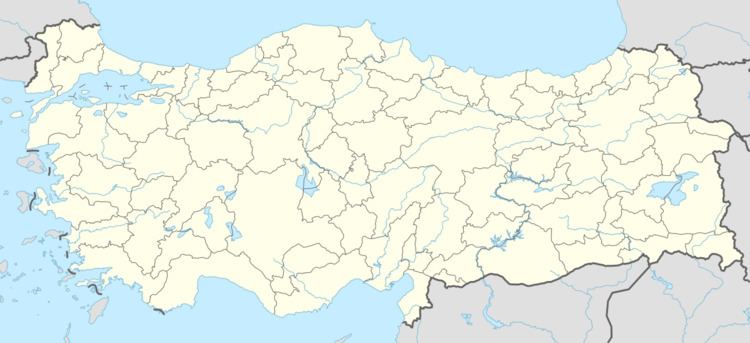
Country Turkey District Mihalıcçık Time zone EET (UTC+2) Population 756 (2012) Area code 0222 | Province Eskişehir Province Elevation 740 m (2,430 ft) Postal code 26920 Local time Sunday 9:12 AM | |
 | ||
Weather 6°C, Wind NW at 11 km/h, 62% Humidity | ||
Yunusemre (former Saru) is a small belde (town) in Eskişehir Province, Turkey. It is named after the great Turkish poet Yunus Emre (1240–1321) whose tomb is in the town.
Contents
- Map of Yunusemre Yunusemre Mahallesi 26920 MihalC4B1C3A7C3A7C4B1k2FEskiC59Fehir Province Turkey
- Geography
- History
- Economy
- References
Map of Yunusemre, Yunusemre Mahallesi, 26920 Mihal%C4%B1%C3%A7%C3%A7%C4%B1k%2FEski%C5%9Fehir Province, Turkey
Geography
Yunusemre is in Mihalıcçık district of Eskişehir Province. It is situated at 39°42′N 31°29′E, along the Porsuk River and the railroad connecting Ankara to İstanbul. It is 22 kilometres (14 mi) south of Mihalıcçık and 100 kilometres (62 mi) east of Eskişehir. The population of Yunusemre was 756 as of 2012.
History
There was an underground settlement around Yunusemre during the Roman Empire. But the present settlement was founded after 1074 when Seljuk Turks began controlling the area. Initially there were only few houses around the tomb of Yunus Emre. But after the construction of the railroad in 1892, new quarters appeared arouınd the station. In 1953 it was renamed as Yunusemre and in 1991 it was declared a seat of township.
Economy
The major economic activities are irrigated farming, cattle breeding and dairying. Although there are marble quarries to the south of the town they are inactive.
