
Established 1886 Elevation 750 m (2,461 ft) Postal code 4884 | Postcode(s) 4884 State electorate(s) Dalrymple Population 1,106 (2011 census) | |
 | ||
LGA(s) Tablelands Regional Council Weather 27°C, Wind SE at 19 km/h, 51% Humidity Points of interest Avenue of Honour, Tinaroo Dam, Yungaburra Platypus Viewing, Platypus Viewing Platform | ||
Yungaburra is a town located on the Atherton Tableland in Far North Queensland, Australia, not far from Cairns. In the 2011 census, Yungaburra had a population of 1,116 people.
Contents
- Map of Yungaburra QLD 4884 Australia
- History
- Cyclone Larry
- Heritage listings
- Present day
- Geography
- Tourism
- Notable residents
- References
Map of Yungaburra QLD 4884, Australia
History
Prior to European settlement the area around Yungaburra was inhabited by about sixteen different indigenous groups, with the custodians being Yidinji people and neighbouring Ngajanji people. The Queensland police and native troops carried out extensive massacres in the area to rid it of blacks. In one incident in 1884, at Skull Pocket just north of the town a group of Yidinji were surrounded at night, and at dawn mowed down after they fled on hearing the first shot. The children were brained or stabbed to death by native police.
In the early 1880s the area around Allumbah Pocket was used as an overnight stop for miners travelling west from the coast. In 1886 the land was surveyed, and in 1891 settlers moved in.
In 1910 the railway arrived, and the town was renamed Yungaburra, to avoid confusion with another town called Allumbah.
The name Yungaburra comes from Janggaburra, after janggaburru, the Yindiny word for the Queensland silver ash (Flindersia bourjotiana).
By 1911 indigenous numbers had fallen to 20% of the pre-settlement population due to disease, conflict with settlers and loss of habitat.
At the 2006 census, Yungaburra had a population of 932.
Cyclone Larry
In 2006, The Atherton Tableland region was damaged by the Category 4 (on the Australian scale) Cyclone Larry. Of the 19 heritage listed sites in Yungaburra, only the roofs of the community hall, police station and one of the bush cottages were badly damaged, as were the front of the Yungaburra Butchery and Gem Gallery sign. The town was restored very quickly; little evidence of the cyclone is visible.
Heritage listings
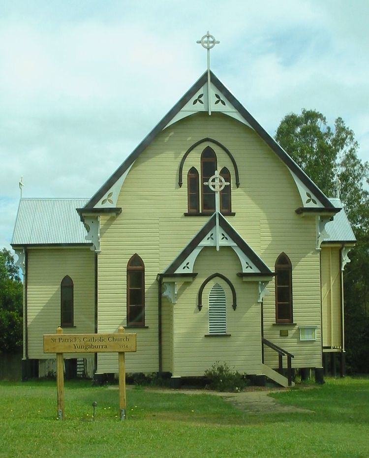
Yungaburra has a number of heritage-listed sites, including:
Present day
Yungaburra's economy today revolves around tourism, and the town contains a primary school, post office, library/telecentre and a range of businesses and services for the use of residents and visitors. Other facilities include a tennis court and a bowling club.The town has 18 Heritage Listed buildings, and is the largest National Trust village in Queensland. The Yungaburra Markets, held on the fourth Saturday of each month, are one of the largest in Far North Queensland, and each year around the end of October, Yungaburra holds the two-day Yungaburra Folk Festival, featuring concerts from Australian (and sometimes international) folk musicians. Yungaburra is also the site of the war memorial to soldiers lost, opened 22 June 2013. The population of Yungaburra is 1,034 persons as of 30 June 2009. There is a network of walking tracks around the town including Peterson's Creek.
Geography
The landscape around Yungaburra has been shaped by millennia of volcanic activity. The most recent eruptions were approximately 10,000 years ago. Notable geological features nearby include:
Tourism
Allumbah Pocket is a picnic area on Petersons Creek which runs past Yungaburra. It is the centre for a series of walking tracks along the creek. Tracks lead to Frawley's Pool, a popular swimming hole and picnic area, then further to Yungaburra's historical train bridge. In the opposite direction there is a track to the platypus viewing deck. Aside from this all of the tracks are relatively easy and short enough for anyone to do. The site is dedicated to Geoff Tracy, a local renowned environmentalist who died in 2004.
Yungaburra has access to the southern arm of Lake Tinaroo which is popular for fishing, canoeing, sailing, swimming, water-skiing and camping. The other main places to get to Tinaroo are Kairi and the township of Tinaroo.
The Curtain Fig Tree, which is just out of Yungaburra, is a giant rainforest fig tree with roots hanging down, giving it the appearance of curtains. There is a short boardwalk around the tree.
Lake Barrine and Lake Eacham are crater lakes, formed from volcanoes. Lake Eacham is popular for swimming and Lake Barrine has a teahouse and gift shop as well as cruises around the lake however is unsuitable for swimming due to the cruise boats. Both lakes have walking tracks around them. Lake Barrine's track is 6 kilometres (3.7 mi) and Lake Eacham's is 3 kilometres (1.9 mi).
There are a number of places to dine, from Takeaway to fine dining.