
Elevation AMSL 3,919 ft / 1,195 m 4,990 1,521 14/32 9,000 Code UCC | 01/19 4,990 Elevation 1,195 m | |
 | ||
Operator | ||
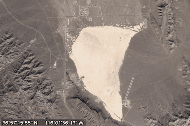
Yucca Airstrip (IATA: UCC, ICAO: KUCC, FAA LID: NV11) is a private-use airport located 17 miles (27 km) north of the central business district of Mercury, in Nye County, Nevada, United States. The airport is located on the Nevada Test Site and is owned by the United States Department of Energy. On the sectional chart it is depicted as an unverified airstrip.
Contents
Although many U.S. airports use the same three-letter location identifier for the FAA and IATA, this airport is assigned NV11 by the FAA but has been assigned UCC from the IATA.
History
The airport was the staging area for Shot Badger, a test of the Upshot–Knothole Series of nuclear test shots on April 18, 1953.
Facilities
Yucca Airstrip Airport covers an area of 41 acres (17 ha) and has two runways, one located on the salt flat and a shorter, more recently constructed asphalt runway just east of the salt flat:
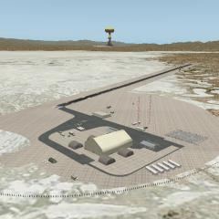
The asphalt runway was constructed in 2002 as part of an unmanned aerial vehicle test facility.