
Area 40.28 km² Local time Sunday 3:46 PM | Website EnglishChinese Population 230,957 (Jan 2016) | |
 | ||
Weather 29°C, Wind SW at 21 km/h, 61% Humidity Colleges and Universities Southern Taiwan University, Kun Shan University, Tainan University of Techno | ||
Yongkang District (Chinese: 永康區; pinyin: Yǒngkāng Qū; Pe̍h-ōe-jī: Éng-khong Khu) is a district in Tainan, Taiwan.
Contents
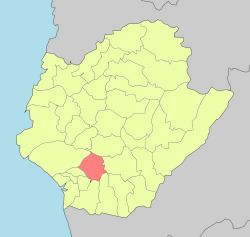
- Map of Yongkang District Tainan City Taiwan 710
- History
- Education
- Tourist attractions
- Rail
- Road
- Hospitals
- References
Map of Yongkang District, Tainan City, Taiwan 710
History
Due to the development of manufacturing and food-processing industries, Yongkang has become a migrant city since the 1970s, attracting many people from neighboring cities who now work and live in the city. Its population experienced a large increase during the 1970s, and Yongkang became the largest city in Tainan County in 1977.
Yongkang was formerly the largest city of Tainan County until it merged with Tainan City to form the new Tainan municipality and became Yongkang District on 25 December 2010.
Though the increase in population today is not as rapid as it was before, Yongkang still enjoys the steady growth envied by other cities or towns.