
Country Republic of China Area 29.408 km2 | Mayor Huang Ding-ho (???) | |
 | ||
University National Ilan University | ||
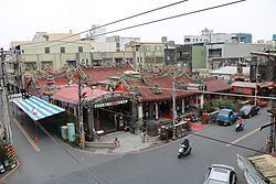
Map of Yilan City
Yilan City (Chinese: 宜蘭市; pinyin: Yílán Shì; Wade–Giles: I2-lan2 Shih4) is a city and the county seat of Yilan County, Taiwan. The city lies on the north side of the Lanyang River.
Contents
- Map of Yilan City
- Entering yilan city
- Travel in taiwan ep6 go with adam to yilan city and onsen in taipei
- History
- Qing dynasty
- Empire of Japan
- Republic of China
- Geography
- Administrative divisions
- Government institutions
- Tourist attractions
- Transportation
- Sister cites
- References
Entering yilan city
Travel in taiwan ep6 go with adam to yilan city and onsen in taipei
History
The Yilan Plain in which the city is located has historically been referred to as Kapalan (Chinese: 蛤仔難; Pe̍h-ōe-jī: Kap-á-lān), Kapsulan (蛤仔蘭; Kap-chú-lân; also 甲子蘭), Komalan (噶瑪蘭; Kat-má-lán), etc. These names, as well as that of Yilan itself, were given to the sites by the Kavalan tribe of Taiwanese aborigines. Later arrivals included Han Chinese settlers during the Qing Dynasty in China (1802) and settlers from Okinawa during Taiwan's Japanese era (1895-1945).
Qing dynasty
In 1810 under Qing dynasty rule, a formal administration office was established at Wuwei (五圍) and "Komalan Subprefecture" (噶瑪蘭廳; Kat-má-lán Thiaⁿ) was at the present day location of Yilan City. Construction of the city wall was completed a year later. After a few years once the basic infrastructure was ready, the city assumed the political, economical, cultural and educational center for the Lanyang Plain. In 1878, Komalan was a large rice production area commonly called Kapsulan, and became a district called Gilan Hsien. It was one of the three new districts that constituted the new Taipeh Prefecture.
Empire of Japan
According to the 1904 census, the population of Giran town was about 15,000.
Republic of China
After the handover of Taiwan from Japan to the Republic of China on 25 October 1945, Yilan City was created in January 1946 as a county-controlled city the county seat of the newly created Yilan County and continue to become the political, economical and cultural centers of the region.
Geography
Yilan City is located on Lanyang Plain with an average altitude of 7.38 meters above sea level.
Administrative divisions
Yilan City consists of 38 villages and 478 neighborhoods. Villages in Yilan City are: Baili, Beijin, Beimen, Caiyuan, Chenggong, Cian, Daxin, Fuguo, Fuxing, Jianjun, Jianye, Jiaobai, Jinshi, Kaixuan, Liming, Meizhou, Minquan, Minzu, Nanjin, Nanmen, Nanqiao, Qijie, Qizhang, Shennong, Siyuan, Taishan, Tungcun, Tungmen, Wenhua, Xiaolian, Xiaotung, Ximen, Xinmin, Xinsheng, Xintung, Yanping, Zhongshan and Zhongxing.
Government institutions
Tourist attractions
Transportation
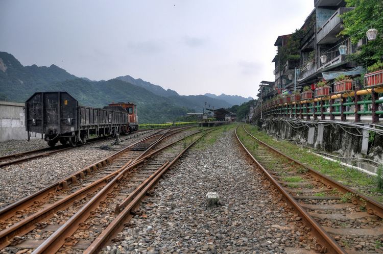
Yilan City is accessible by Yilan Station of the Taiwan Railways Administration.