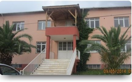
District Islahiye Time zone EET (UTC+2) Population 3,640 (2012) | Elevation 430 m (1,410 ft) Postal code 27821 Area code 0342 | |
 | ||
Yeşilyurt is a town in Islahiye district of Gaziantep Province, Turkey. The town which is situated at 36°54′N 36°34′E is on Turkish state highway which connects Antakya to Kahramanmaraş. It is 17 kilometres (11 mi) south of Islahiye. Distance to Gaziantep is 110 kilometres (68 mi). The population of Yeşilyurt was 3640 as of 2012. The town was founded in 1991 as a result of merging three villages named Dolan, Yenioba and Alagöz. Major economic activities of the town are viniculture and peach gardening.
Map of Ye%C5%9Filyurt Mahallesi, %C4%B0slahiye%2FGaziantep, Turkey
References
Yeşilyurt, Gaziantep Wikipedia(Text) CC BY-SA
