
Elevation 56 m (184 ft) | Local time Monday 11:55 AM | |
 | ||
Weather 23°C, Wind NW at 19 km/h, 27% Humidity | ||
Yathrib (Arabic: ناحية يثرب.), also transliterated Yethrib is a city in the Salah ad Din Governorate, Iraq, 45 kilometres (28 mi) directly north of the national capital, Baghdad. It is in the so-called Sunni Triangle. The city is located right on the Tigris River. With the nearby cities and towns of Dhululiyah, Balad, Ishaqi, Dojama, Tarmiyah, and Taji it forms the northern Baghdad "belt" and sits along two highways that run between Samarra and the capital city Baghdad.
Contents
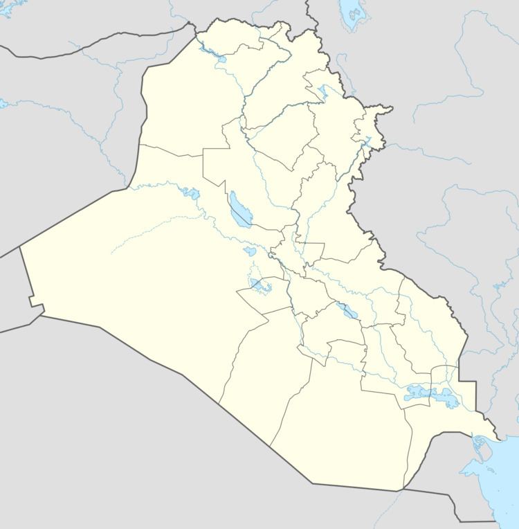
Map of Yathrib, Iraq
Iraq Insurgency 2014-present
ISIL forces captured the city and region, with Iraqi troops fighting to recover the area. Iran and Kata'ib Hezbollah employed ground forces to assist the Iraqi Army with ISIL releasing photos including one of a dead Hezbollah fighter. The US and allied countries have bombed in and around Yathrib during the 2014 American-led intervention in Iraq.
Relationship to Medina
Yathrib is the pre-Islamic name for the holy city of Medina.