
 | ||
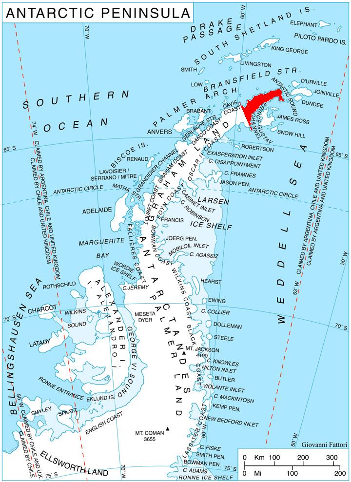
Yarlovo Nunatak (Bulgarian: Ярловски нунатак, ‘Yarlovski nunatak’ \'yar-lov-ski 'nu-na-tak) is the rocky hill rising to 744 m in the north foothills of Giovannini (Lobell) Ridge on Trinity Peninsula in Graham Land, Antarctica. It is surmounting Broad Valley to the north.
Contents
The nunatak is named after the settlement of Yarlovo in Western Bulgaria.
Location
Yarlovo Nunatak is located at 63°32′52″S 57°58′17″W, which is 4.53 km west-northwest of Marten Crag, 6.72 km south of Prilep Knoll and 11.48 km southwest of Kanitz Nunatak. German-British mapping in 1996.
Maps
References
Yarlovo Nunatak Wikipedia(Text) CC BY-SA