
District Krishna Area 4.42 km² Population 1,640 (2011) | Time zone IST (UTC+5:30) Local time Monday 12:13 PM | |
 | ||
Weather 35°C, Wind S at 14 km/h, 50% Humidity | ||
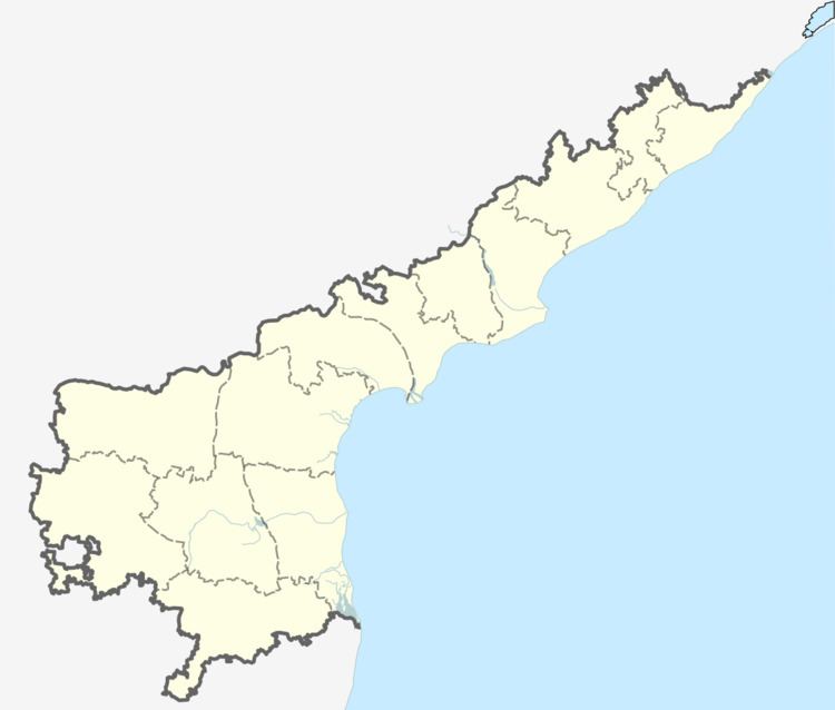
Yarlagadda is a village in Krishna district of the Indian state of Andhra Pradesh. It is located in Challapalli mandal of Machilipatnam revenue division. It is one of the villages in the mandal to be a part of Andhra Pradesh Capital Region.
Contents
Map of Yarlagadda, Andhra Pradesh 521126
Government and politics
Yarlagadda gram panchayat is the local self-government of the village. The elected members of the gram panchayat is headed by a sarpanch. The sarpanch of the villages was awarded Nirmala Grama Puraskaram for the year 2013.
References
Yarlagadda Wikipedia(Text) CC BY-SA