
Website APCRDA Population 5.874 million (2011) | Area 8,603 km² | |
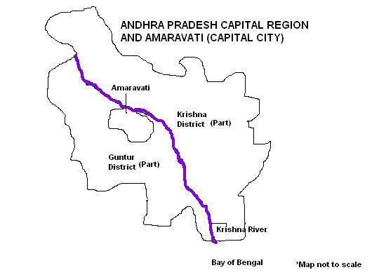 | ||
Andhra Pradesh Capital Region is the conurbation or metropolitan area surrounding Amaravati, the new capital city of Andhra Pradesh. The entire region is under the jurisdiction of Andhra Pradesh Capital Region Development Authority, and covers an area of 8,603 km2 (3,322 sq mi) under 58 mandals, of which 29 are in Krishna district and 29 in Guntur district. The capital region covers 18 mandals fully and 11 mandals partially in Guntur district. In Krishna district, it covers 15 mandals fully and 14 mandals partially under the jurisdiction of APCRDA. The capital city is an Urban Notified Area, and will cover 217.23 km2 (83.87 sq mi), within the Andhra Pradesh Capital Region.
Contents
Urban local bodies
The region has a total of 13 urban areas including, the capital city of Amaravati, 2 municipal corporations, 8 municipalities and 2 nagar panchayats. Vijayawada, Guntur are the two municipal corporation, Gudivada, Jaggayyapeta, Mangalagiri, Nuzvid, Ponnur, Sattenapalle, Tadepalle, Tenali are the 8 municipalities and Nandigama, Vuyyuru are the 2 nagar panchayats.
Jurisdiction
The below list is of the mandals and villages under the jurisdiction of Andhra Pradesh Capital Region Development Authority.
Partially included mandals/villages
The limits of the region was expanded on 22 September 2015, which resulted in addition and removal of the mandals and villages.
Mandals in the below list are the partially included (only some villages) in the capital region.