
Coat of arms Flag Rural localities 103 | Selsoviets 18 Area 2,176 km² | |
 | ||
Federal subject Republic of Bashkortostan | ||
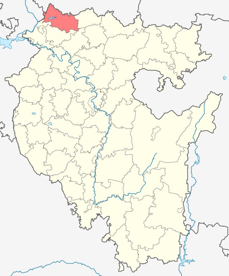
Yanaulsky District (Russian: Янау́льский райо́н; Bashkir: Яңауыл районы) is an administrative and municipal district (raion), one of the fifty-four in the Republic of Bashkortostan, Russia. It is located in the northwest of the republic and borders with Perm Krai in the north, Tatyshlinsky District in the east, Burayevsky District in the southeast, Kaltasinsky District in the south, Krasnokamsky District in the southwest, and with the Udmurt Republic in the west. The area of the district is 2,094 square kilometers (808 sq mi). Its administrative center is the town of Yanaul (which is not administratively a part of the district). As of the 2010 Census, the total population of the district was 21,210.
Contents
- Map of Yanaulsky District Republic of Bashkortostan Russia
- History
- Administrative and municipal status
- References
Map of Yanaulsky District, Republic of Bashkortostan, Russia
History
The district was established in August 1930.
Administrative and municipal status
Within the framework of administrative divisions, Yanaulsky District is one of the fifty-four in the Republic of Bashkortostan. It is divided into 18 selsoviets, comprising 103 rural localities. The town of Yanaul serves as its administrative center, despite being incorporated separately as a town of republic significance—an administrative unit with the status equal to that of the districts.
As a municipal division, the district is incorporated as Yanaulsky Municipal District, with the town of republic significance of Yanaul being incorporated within it as Yanaul Urban Settlement. Its eighteen selsoviets are incorporated as eighteen rural settlements within the municipal district. The town of Yanaul serves as the administrative center of the municipal district as well.