
Coat of arms Flag Administrative center selo of Burayevo Rural localities 95 Founded 20 August 1930 | Selsoviets 13 Area 1,820 km² | |
 | ||
Federal subject Republic of Bashkortostan | ||
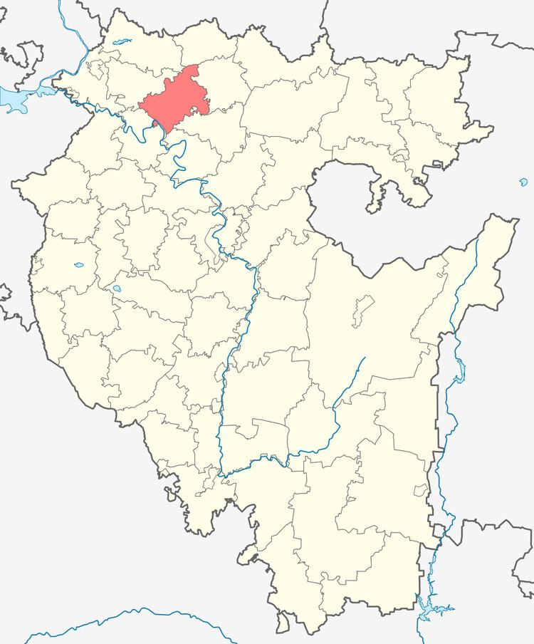
Burayevsky District (Russian: Бура́евский райо́н; Bashkir: Борай районы) is an administrative and municipal district (raion), one of the fifty-four in the Republic of Bashkortostan, Russia. It is located in the north of the republic and borders with Yanaulsky and Tatyshlinsky Districts in the north, Baltachevsky District in the east, Mishkinsky District in the southeast, Birsky District in the south, Dyurtyulinsky District in the south and southwest, and with Kaltasinsky District in the west. The area of the district is 1,820 square kilometers (700 sq mi). Its administrative center is the rural locality (a selo) of Burayevo. As of the 2010 Census, the total population of the district was 25,154, with the population of Burayevo accounting for 37.9% of that number.
Contents
- Map of Burayevsky District Republic of Bashkortostan Russia
- History
- Administrative and municipal status
- References
Map of Burayevsky District, Republic of Bashkortostan, Russia
History
The district was established in 1930.
Administrative and municipal status
Within the framework of administrative divisions, Burayevsky District is one of the fifty-four in the Republic of Bashkortostan. The district is divided into thirteen selsoviets, comprising ninety-five rural localities. As a municipal division, the district is incorporated as Burayevsky Municipal District. Its thirteen selsoviets are incorporated as thirteen rural settlements within the municipal district. The selo of Burayevo serves as the administrative center of both the administrative and municipal district.