
Country Japan Area 27.06 km2 Mayor Satoru Oki | Region Kanto | |
 | ||
University St. Cecilia Womens Junior College | ||
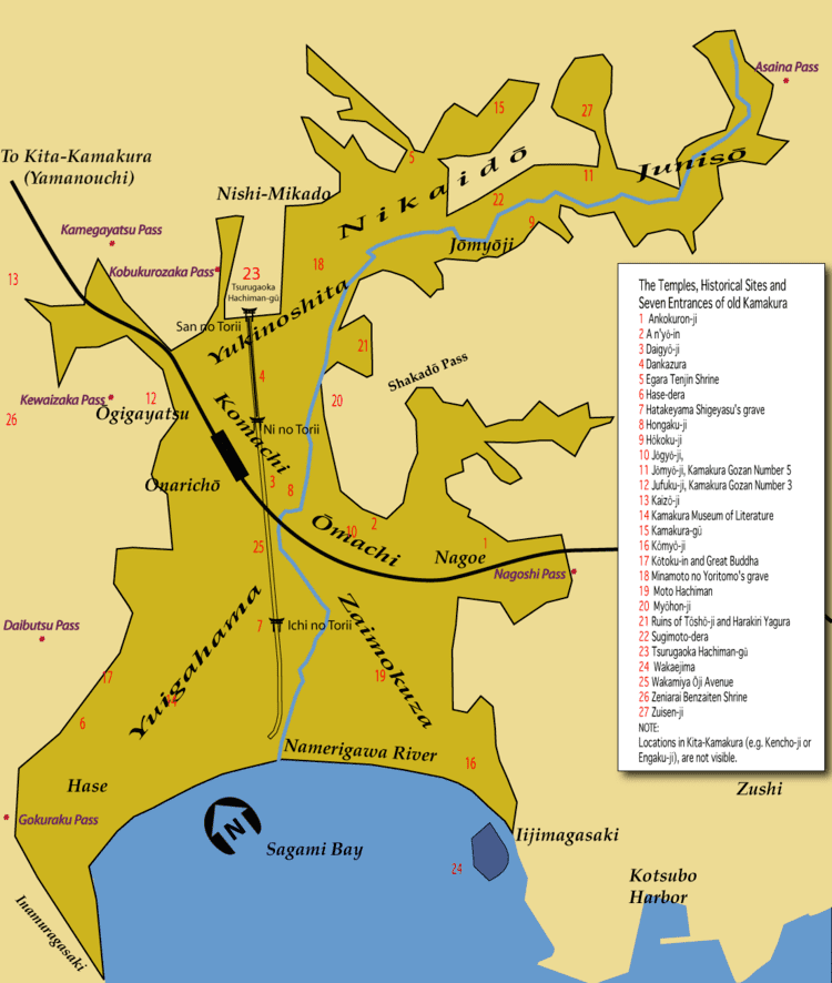
Map of Yamato, Kanagawa
Yamato (大和市, Yamato-shi) is a city located in central Kanagawa Prefecture, Japan.
Contents
- Map of Yamato Kanagawa
- History
- Yamato Kanagawa Prefecture Japan Spring Festival The Directors Cut May 14th 2017
- Geography
- Surrounding municipalities
- Railway
- Highway
- Twin towns Sister cities
- Noted people from Yamato
- References

As of May 1, 2017, the city has an estimated population of 234,859, with 104,432 households, and a population density of 8,700 persons per km2. The total area is 27.09 km2 (10.46 sq mi).
History
The area around present-day Yamato city has been inhabited for thousands of years. Archaeologists have found stone tools from the Japanese Paleolithic period and ceramic shards from the Jōmon period at numerous locations in the area. It is mentioned in the Engishiki records from the Heian period. By the Kamakura period, this area part of the Shibuya shōen. It came under control of the Ashikaga clan in the early Muromachi period and was later part of the territories of the Late Hōjō clan from Odawara. With the start of the Edo period, the area was part of the tenryō territory in Sagami Province controlled directly by the Tokugawa shogunate, but administered through various hatamoto . Under the rule of the 5th shogun, Tokugawa Tsunayoshi, one of these hatamoto, Sakamoto Shigeharu (1630–1693) by virtue of his position as Ōmetsuke and Jisha-bugyō, exceeded 10,000 koku in income, and thus became daimyō of the newly proclaimed Fukami Domain in October 1682. However, his revenues decreased below 10,000 koku in May 1687 and the domain was suppressed.
Yamato Kanagawa Prefecture Japan Spring Festival. The Director's Cut. May 14th 2017
During the cadastal reforms after the Meiji Restoration, the area of present-day Yamato became part of Kōza District, Kanagawa Prefecture. On April 1, 1889, it was administratively divided into Shibuya Village and Tsurumi Village, which later changed its name on September 25, 1891 to Yamato Village. The area was connected by rail in 1926 via the Sagami Railway and in 1929 by the Odakyu Electric Railway, leading to an increase in population. The Imperial Japanese Navy Sagamino Air Base was established in 1940. Yamato Village became Yamato Town in 1943, and Shibuya Village became Shibuya Town in 1944. However, Shibuya was dissolved in 1955, with a portion merging with nearby Fujisawa, and the remaining portion reverting to village status. That portion was merged with Yamato in 1957, which became Yamato City in 1959. In April 2000, Yamato exceeded 200,000 in population and was proclaimed a special city with increased autonomy from the central government.
Geography
Yamato is located in the plains of north-central Kanagawa Prefecture.
Surrounding municipalities
Railway
Highway
Twin towns — Sister cities
Yamato is twinned with: