
Post code 38 400 Elevation 1,330 m Local time Monday 1:02 AM | District Yahyalı Website www.yahyali.bel.tr Area 1,546 km² | |
 | ||
Weather 1°C, Wind NW at 6 km/h, 75% Humidity | ||
Yahyal hava ekimleri 1
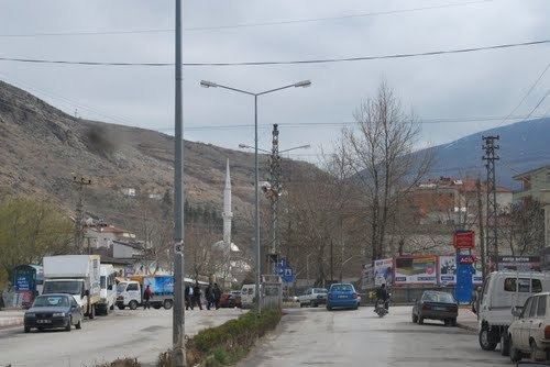
Yahyalı is a town and district in Kayseri Province of Turkey. It is the southernmost district of the province and its area is defined by the steep lines of the Taurus Mountains, named Aladağlar in their section through this region, and it is crossed by the River Zamantı.
Contents
- Yahyal hava ekimleri 1
- Map of YahyalC4B1 38500 YahyalC4B12FKayseri Province Turkey
- Yahyal ivesi
- References
Map of Yahyal%C4%B1, 38500 Yahyal%C4%B1%2FKayseri Province, Turkey
The Aladağlar National Park is 300 km2 (120 sq mi), mostly covered in forests, which also extends into the neighboring districts of Çamardı (Niğde Province) and Aladağ (Adana Province), although its main part is in Yahyalı.
Yahyalı is steadily becoming more of a tourism destination, with the Zamantı river as a favourite rafting destination, but also the rest of the national park as a popular trekking and alpinism area, starting with the seven glacier lakes at 3500m altitude. The mountain ranges also possess rich iron, zinc and lead deposits, which have been mined more intensively in recent years.
Closer to the town centre, on the slopes of Aladağlar, the Kapuzbaşı waterfalls have recently started to attract more interest and can now be found in guidebooks. The main waterfall is formed by an underground river coming through the rocks.
The main economic activities are agriculture and animal husbandry, as well as its traditional handmade rugs and carpets, which are produced by natural dying techniques.