Rahul Sharma (Editor)

Xhariep District Municipality

Updated on
Edit
Like
Comment
Share on FacebookTweet on TwitterShare on LinkedInShare on Reddit
Country
  
Time zone
  
SAST (UTC+2)

White population
  
7.6%

Municipal code
  
DC16

Mayor
  
Mongi Ntwanambi

Seat
  
Area
  
37,674 kmĀ²

Black african population
  
78.5%

Province
  
Free State

Xhariep District Municipality wwwfreestateinfocozainforegions41imagesb

Local municipalities
  

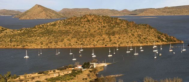
Xhariep is one of the 5 districts of Free State province of South Africa. The seat of Xhariep is Trompsburg. The largest language group of the 146,259 people is Sotho with 45,3% (2011 Census). The district code is DC16.

Contents

Map of Xhariep, South Africa

Neighbours

Xhariep is surrounded by:

  • Lejweleputswa to the north (DC18)
  • Mangaung Metro to the north-east
  • The kingdom of Lesotho to the east
  • Joe Gqabi District in Eastern Cape to the south (DC14)
  • Pixley ka Seme in Northern Cape to the west (DC7)
  • Frances Baard in Northern Cape to the north-west (DC9)
  • Local municipalities

    The district contains the following local municipalities:

    Demographics

    The following statistics are from the 2011 census.

    Election results

    Election results for Xhariep in the South African general election, 2004.

  • Population 18 and over: 82 604 [61.07% of total population]
  • Total votes: 43 082 [31.85% of total population]
  • Voting % estimate: 52.15% votes as a % of population 18 and over
  • References

    Xhariep District Municipality Wikipedia


    Similar Topics