
Established 1891 Area 16.2 km² Local time Saturday 12:14 PM | Postal code (street) 9913 Population 5,338 (2011) Area code 051 | |
 | ||
Weather 18°C, Wind SE at 16 km/h, 36% Humidity | ||
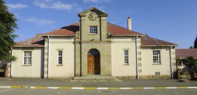
Trompsburg is a small agricultural town in the Free State province of South Africa off the N1 highway, the major road connection between Johannesburg and Cape Town.
Map of Trompsburg, South Africa
The town is 122 km south-west of Bloemfontein and 56 km north-east of Philippolis. It was laid out in 1891 on the farm Middelwater and attained municipal status in 1902. Named after the owners of the farm, Jan and Bastiaan Tromp. It was at first called Jagersfontein Road, then Hamilton, in honour of Sir Hamilton John Goold-Adams (1858–1920), Lieutenant-Governor of the Orange River Colony from 1901 to 1910.
References
Trompsburg Wikipedia(Text) CC BY-SA