
OS grid reference TR055466 Dialling code 01233 | Civil parish Wye with Hinxhill | |
 | ||
Population 2,384 (2001); 2,282 (2011) | ||
Wye with Hinxhill is a hillside civil parish in the borough of Ashford north east of Ashford, Kent itself, centred 3.7 miles (6.0 km) NNE of the town centre. The North Downs range of hills have the high escarpment on the east and west borders of the village, flanking a gap caused by the River Great Stour in the centre of the parish.
Contents
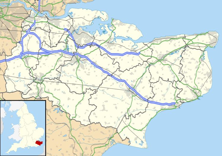
Map of Wye with Hinxhill, UK
The combined village has a relatively low population and large geographical area. The civil parish council meets monthly to administer local government resources, funding and planning community events and facilities. It contains the main village of Wye and much smaller Hinxhill and has a combined a population of 2,300 in 2001. The population reduced to 2,282 at the 2011 Census.
Transport
The A28 road pass through the parish from Ashford to Canterbury.
Recreation
Also following the valley, the Great Stour river and the Stour Valley Walk pass through the parish from Ashford to Canterbury. The river here is navigable to canoes and small boats.