
OS grid reference SU8892 Dialling code 01494 | Sovereign state United Kingdom District Wycombe District Postcode district HP11 Civil parish Unparished | |
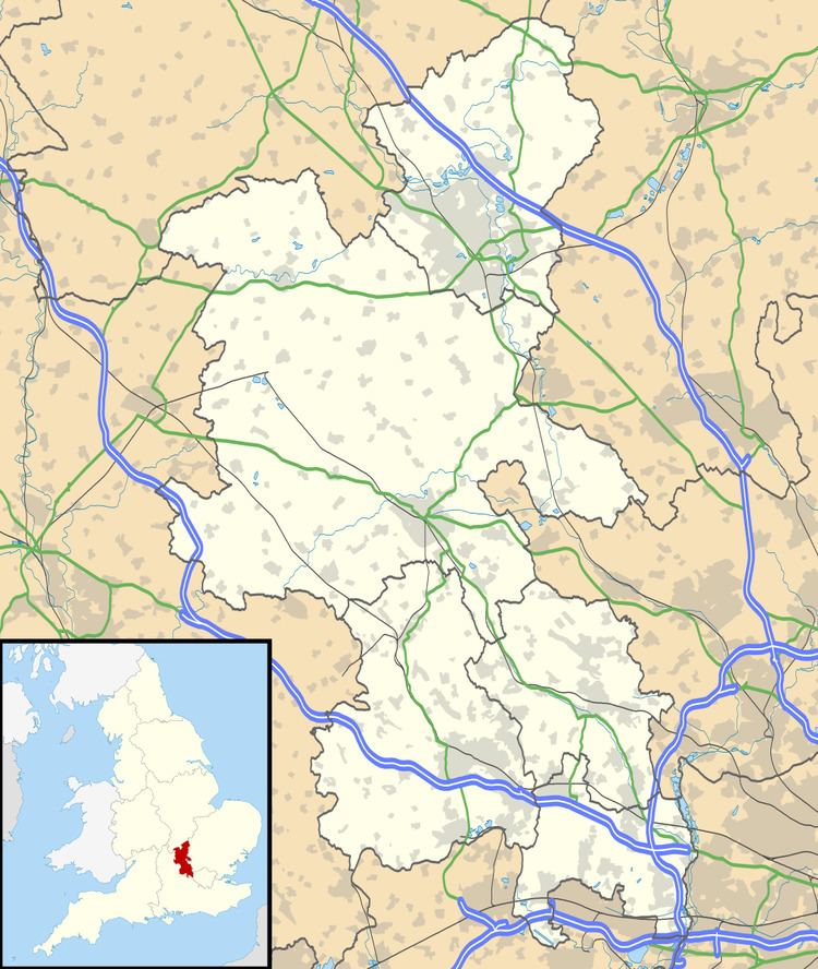 | ||
Wycombe Marsh is a hamlet in Buckinghamshire, England, which has been absorbed into the expanding suburbs of High Wycombe. It lies approximately 1.5 miles South East from the centre of High Wycombe, and approximately a mile to the West of Loudwater. At the 2011 the population was included in the Wycombe Ward of Ryemead. To the North lies the River Wye and the A40 road to London, while to the South lies woodland and part of the Chiltern Hills.
Contents
Map of Wycombe Marsh, High Wycombe, UK
Features
Wycombe Marsh is home to a small retail park of shops and restaurants including Comet, PC World, Pets At Home, Homebase and M&S Simply Food. There are multiple residential areas, including Wye Dene which is currently in development. The hamlet is served by Marsh Infant School and Nursery and three small churches. The Wycombe Railway that opened in 1854 and closed in 1970, ran through Wycombe Marsh, and abandoned trackbed can be found nearby.
History
Wycombe's location as a well-watered valley protected by higher ground, meant that it was favourable to prehistoric settlements, of which traces have been found at Wycombe Marsh dating from the Bronze Age. In previous centuries, Wycombe Marsh was home to mills and was engaged in the manufacture of paper. In the 21st Century, Wycombe Marsh has undergone major redevelopment. Brownfield land such as Thames Water's redundant sewage treatment works has been converted into a retail park, and more recently, a housing development.