
Time zone CET (UTC+1) Local time Thursday 2:56 PM Population 1,475 (1 Apr 2009) | Elevation 322 m (1,056 ft) Area code 03135 Postal code 8142 | |
 | ||
Weather 14°C, Wind N at 23 km/h, 37% Humidity | ||
Wundschuh is a municipality in the district of Graz-Umgebung in the Austrian state of Styria.
Contents
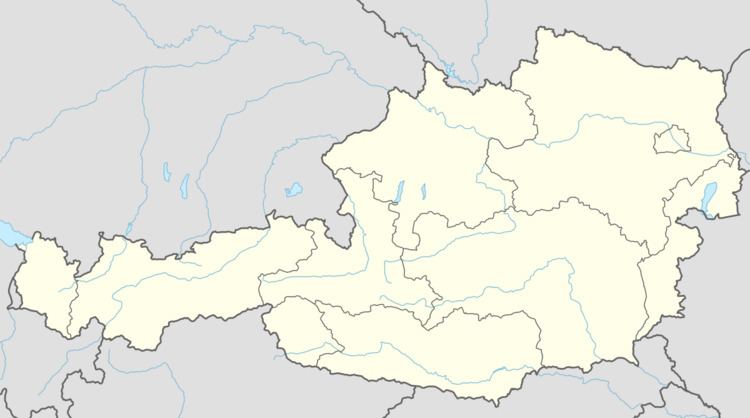
Map of 8142 Wundschuh, Austria
Geography
Wundschuh lies in the Graz basin in the Kaiser forest about 12 km south of Graz.
Subdivisions
Katastralgemeinden are Kasten and Wundschuh. Other communities are Forst, pop. 122, Gradenfeld, pop. 176, Kasten, pop. 319, Ponigl, pop. 104, and Wundschuh, pop, 676.
References
Wundschuh Wikipedia(Text) CC BY-SA