
OS grid reference TF689001 Sovereign state United Kingdom Area 4.7 km² Population 369 (2011) | Civil parish Wretton Post town KING'S LYNN Local time Thursday 10:12 AM Postcode district PE33 | |
 | ||
Weather 11°C, Wind SW at 5 km/h, 80% Humidity District | ||
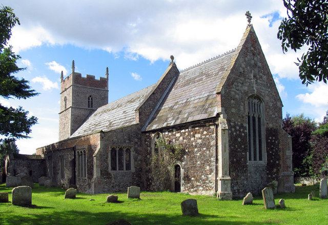
Wretton is a village and civil parish in the English county of Norfolk. It covers an area of 4.7 km2 (1.8 sq mi) and had a population of 392 in 155 households at the 2001 census. For the purposes of local government, it falls within the district of King's Lynn and West Norfolk.
Map of Wretton, UK
It is situated some 4 miles (6.4 km) east of Downham Market, 16 miles (26 km) south of King's Lynn and 40 miles (64 km) west of Norwich.
References
Wretton Wikipedia(Text) CC BY-SA