
OS grid reference TG112063 Sovereign state United Kingdom Area 3.47 km² Population 115 (2011) | Civil parish Wramplingham Post town WYMONDHAM Local time Thursday 7:23 AM | |
 | ||
Weather 3°C, Wind NW at 5 km/h, 96% Humidity | ||
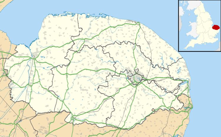
Wramplingham is a village and civil parish in the English county of Norfolk. It is situated on the River Tiffey some 4 miles (6.4 km) north of Wymondham and 7 miles (11 km) west of Norwich. [1] The civil parish has an area of 3.47 square kilometres and in 2001 had a population of 110 in 44 households, increasing to a population of 115 in 51 households at the 2011 Census. For the purposes of local government, the parish falls within the district of South Norfolk.
Map of Wramplingham, UK
The church of Wramplingham St Peter and St Paul is one of 124 existing round-tower churches in Norfolk. The round tower at Wramplingham is thought to have originally been an Anglo-Saxon watch tower.
Wramplingham Mill was a three-storey weatherboarded corn mill, demolished in 1945.
References
Wramplingham Wikipedia(Text) CC BY-SA