Nearest city Woss Area 66.34 km² Phone +1 800-689-9025 | Governing body BC Parks Established 1995 | |
 | ||
Similar Schoen Lake Provincial, Nimpkish Lake Provincial, Artlish Caves Provincial, Rugged Mountain, Mount Cain Alpine Park | ||
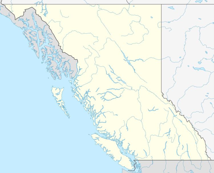
Woss Lake Provincial Park is a provincial park in British Columbia, Canada, located 75 kilometres southeast of Port McNeill, near the community of Woss, which is also known as Woss Lake.
Contents
HistoryEdit
The park was established 1995. Woss Lake Provincial Park is within the traditional territory of the Namgis First Nation. The park contains a portion of a First Nations traditional cross-island trade route known as the Grease Trail, which made its way over the Tahsis divide.
GeographyEdit
The park is 66.34 km². The park landscape includes the southern portion of Woss Lake, as well as very steep forested slopes above the lake and the permanent snowfields and north facing slopes of Rugged Mountain, part of the Haihte Range.
ConservationEdit
Woss Lake Provincial Park is a very steep, forested, seldom visited wilderness area. The park contains Roosevelt elk populations, a salmon fishery and potentially, habitat for the endangered Vancouver Island marmot. The park also contains a nameless, intact secondary watershed of 16 km² that drains into the head of Woss Lake. This unnamed drainage contains valuable Chinook salmon and steelhead spawning habitat and a sensitive delta area with a variety of rare plant species.
RecreationEdit
There are no recreation facilities in Woss Lake Provincial Park, but visitors with a boat, canoe or kayak can enjoy various activities ranging from backcountry hiking, skiing and mountaineering to camping, fishing, First Nations and nature appreciation and hunting.
