
ZIP code 05682 Elevation 236 m Population 112 (2010) | Time zone Eastern (EST) (UTC-5) Area code(s) 802 Area 17 ha | |
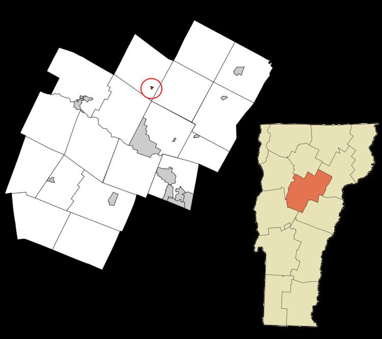 | ||
Worcester is a census-designated place (CDP) that comprises the main village in the town of Worcester, Washington County, Vermont, United States. The population of the CDP was 112 at the 2010 census.
Geography
According to the United States Census Bureau, the Worcester CDP has a total area of 0.077 square miles (0.2 km2), all land. The village is located along the North Branch of the Winooski River and Vermont Route 12, 9 miles (14 km) north of Montpelier, the state capital, and 18 miles (29 km) south of Morrisville.
References
Worcester (CDP), Vermont Wikipedia(Text) CC BY-SA