
Postcode(s) 3485 Postal code 3485 Local time Thursday 2:47 AM | Population 191 (2011 census) | |
 | ||
Weather 12°C, Wind NE at 11 km/h, 66% Humidity | ||
Woomelang is a town in the Mallee region of Victoria, Australia. The town is in the Shire of Yarriambiack local government area and on the Sunraysia Highway, 359 kilometres (223 mi) north-west of the state capital, Melbourne, 183 kilometres (114 mi) south-east of Mildura and 154 kilometres (96 mi) north of Horsham. At the 2011 census, Woomelang and the surrounding area had a population of 191.
Map of Woomelang VIC 3485, Australia
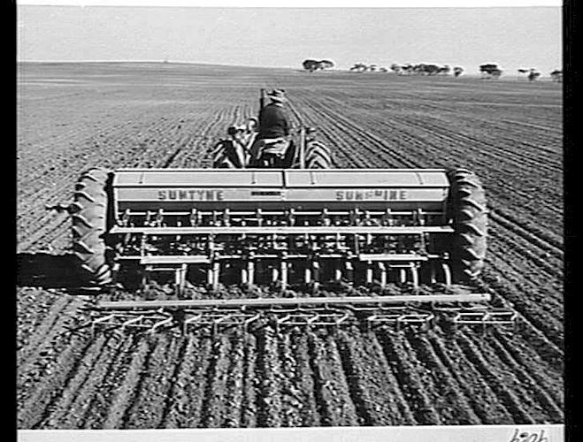
As with most towns in the Mallee region, the main industry is dryland agriculture and woolgrowing. The population has been slowly declining, from 290 at the 1981 census to 211 people in 2001, 195 in 2006, and 191 in 2011.
Woomelang Post Office opened on 10 August 1900.
An interesting attraction to the south of Woomelang is a shearing shed constructed during World War II. Due to wartime shortages, the shed is made of compacted kerosene tins.
With its neighbouring township Lascelles, Woomelang had a football team (Woomelang-Lascelles) competing in the Mallee Football League, until the league folded at the end of the 2015 season. Golfers play at the course of the Woomelang Golf Club on Sunraysia Highway.