
Postcode(s) 4816 Postal code 4816 | ||
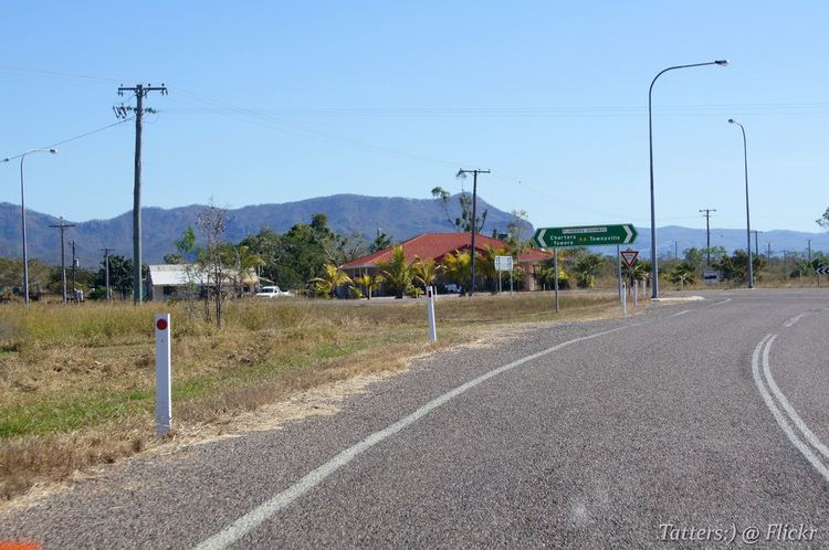 | ||
Woodstock is a small rural community and suburb 40 kilometres (25 mi) west in the rural area of Townsville, Queensland, Australia. The Woodstock General Store is the local shop, cafe, news agent, service station, bank and post office. There is also a service station situated at calcium. Woodstock has a primary school, The Woodstock State School, with Prep and grades 1 to 7 (There is a new prep building as the old preschool burnt down near Christmas 2004). Just up the road from the school is the Woodstock CWA Hall, this is used for CWA meetings and many other functions like stalls and markets to bingo and parties.
Contents
Map of Woodstock QLD 4816, Australia
The area in the head of the catchments for the Ross River (Ross River Dam being a major source of water for Townsville), and the Majors Creek/Haughton catchment.
There is a sub station at Woodstock to boost power to the area and it feeds into the Kelso sub station in the Upper Ross area of Townsville.
Sport
Woodstock is home to many types of sports, from the Woodstock Horse Sports, Motocross & off road track, to a rifle club, and dog show events held at a dedicated site next to the sports and recreation club. The Woodstock Sport and Recreational Club is used on Friday nights as a bar. The Woodstock Motocross track holds events most weekends and is well known Queensland wide. There is also Sky Diving or you can have a plane ride tour of the area.
The area has been nominated as a site for a future motorsports precinct.
Transport
Woodstock's main center is located on the Flinders Highway where the Woodstock-Giru Road and the old Flinders Highway meet the current Flinders Highway.
Local school bus's run from Reid River to Woodstock and from Toonpan to Woodstock during schools days taking the local children to the Woodstock School and another local bus runs from Reid River to William Ross High School (Townsville) for the High school Children.
Woodstock has its own airport, listed as Woodstock Airport it is better known as Donnington Airpark. The area supports a number of private air strips.
The Western rail line bisects the area (the line between Townsville and Mount Isa). The area is also dissected by gas and water pipelines.
Mining
Calcium is the name of a suburb in the Woodstock area and is the main industry site of the area, they mine Lime Stone.
History
Woodstock and its large surrounding area was in Thuringowa until in 1997, when a major alteration in local government boundaries took place, that seen this part of Thuringowa become Townsville City.