
Country United States ZIP codes 41475 Elevation 248 m | Time zone Eastern (EST) (UTC-5) GNIS feature ID 509400 Local time Wednesday 7:05 AM | |
 | ||
Weather 11°C, Wind NE at 10 km/h, 83% Humidity | ||
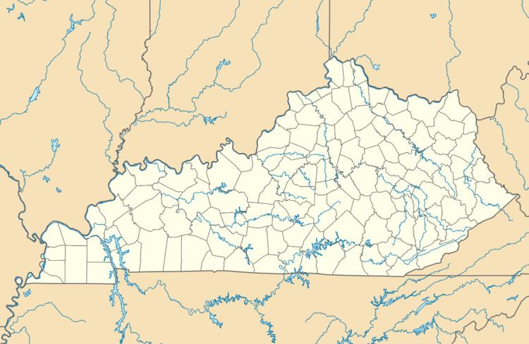
Wonnie is an unincorporated community in Magoffin County, Kentucky, United States. It lies along U.S. Route 460 and Kentucky Route 1081 northwest of the city of Salyersville, the county seat of Magoffin County. Its elevation is 814 feet (248 m).
Map of Wonnie, KY 41465, USA
References
Wonnie, Kentucky Wikipedia(Text) CC BY-SA