
- summer (DST) CEST (UTC+2) Local time Wednesday 2:53 AM | Area 8.8 km² | |
 | ||
Weather 10°C, Wind S at 6 km/h, 76% Humidity | ||
Wola Sękowa [ˈvɔla sɛŋˈkɔva] (Ukrainian: Воля Сенькова, Volia Sen’kova) is a village in East Małopolska in the Bukowsko Upland mountains, Bukowsko rural commune, parish in Bukowsko.
Contents
Map of Wola S%C4%99kowa, Poland
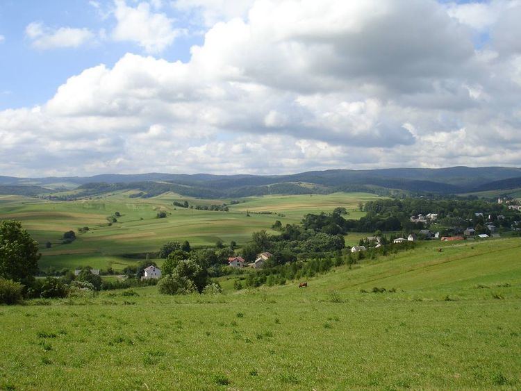
Wola Sękowa is about 15 miles from Sanok in southeast Poland near the border with Slovakia and Ukraine. It is situated below the main watershed at the foot of the Słonne Mountain, and has an elevation of 340 metres. It is located in the Subcarpathian Voivodship (since 1999), previously in Krosno Voivodship (1975–1998) and Sanok district, (10 miles east of Sanok). Nearby towns include Medzilaborce and Palota (in northeastern Slovakia). The village lies near the Pielnica River at the foot of the Bukowica mountains, which are the main trail in Pogórze Bukowskie.
History
On April 1946 the village was attacked by a strong unit of UPA and some buildings were burnt. Only over a dozen years after the war the village started to rebuild.