
Area 9.065 km² | ||
 | ||
Similar Mount Rainier, Emmons Glacier, Inter Glacier, Carbon Glacier, Little Tahoma Peak | ||
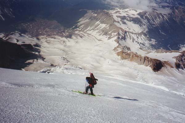
The Winthrop Glacier is a large glacier on the northeastern side of Mount Rainier in Washington. Named after Theodore Winthrop, the body of ice covers 3.5 mile2 (9.1 km2) and has a volume of 18.5 billion feet3 (523 million m3). Starting at over 14,300 feet (4,400 m) at the Columbia Crest, the glacier heads north and descends steeply over the uneven topography of Rainier. Another glacier, the Emmons Glacier is directly connected to this glacier up to the Steamboat Prow. After passing the Prow, the glaciers split up; the Emmons heads east-northeastward and the Winthrop continues northeast. As the terrain becomes flatter, the Winthrop glacier becomes heavily rock-covered when it terminates in a forest at about 4,900 ft (1,500 m). Meltwater from the glacier drains into the White River.
Contents
Map of Winthrop Glacier, Washington 98304, USA
Debris flows
The glacier is one of four on Mount Rainier that are known to have released debris flows. Similar flows have stemmed from the Nisqually, Kautz, and South Tahoma glaciers as well.