
South end: Lakeshore Road | Length 60 km South end Lakeshore Road | |
 | ||
Towns | ||
105 5650 winston churchill boulevard mississauga eric rekus
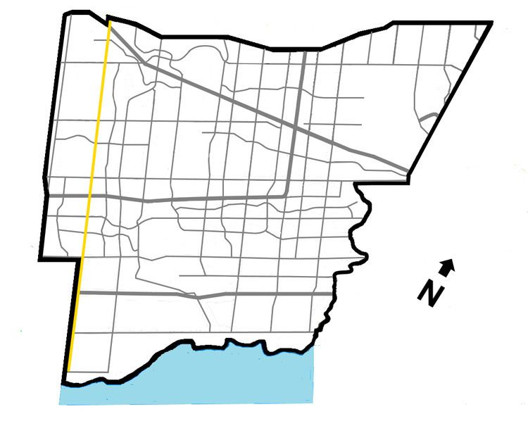
Winston Churchill Boulevard is a long north-south roadway that predominately forms the western boundary of Peel Region with the eastern boundaries of Halton Region and Wellington County, in Ontario, Canada. The road begins at Lakeshore Road in the south at the boundaries of the City of Mississauga the Town of Oakville, and ends in Caledon at East Garafraxa-Caledon Townline. The road is named in honour of British Prime Minister Sir Winston Churchill.
Contents
- 105 5650 winston churchill boulevard mississauga eric rekus
- Map of Winston Churchill Blvd Ontario Canada
- References
Map of Winston Churchill Blvd, Ontario, Canada
The road is designated as Peel Regional Road 19 in the two segments where it forms Peel's boundary with the aforementioned divisions:
Halton Region shares jurisdiction with the Region of Peel over segments of the road along the Halton-Peel boundary south of Mayfield Road, and designates these as Halton Regional Road 19, although no signs indicating such are posted along the route. The Town of Halton Hills shares jurisdiction with the Region of Peel over the segments along the Halton-Peel boundary between Mayfield Road and 32 Sideroad. Wellington County shares jurisdiction with the Region of Peel over the segment between 32 Sideroad and Beech Grove Sideroad, and designates it as Wellington County Road 25. The remaining northerly segment between Beech Grove Sideroad and East Garafaxa-Caledon Townline is under joint jurisdiction between the Town of Caledon, Town of Erin and Township of East Garafraxa where Winston Churchill forms the boundary between any two of these municipalities. The segment between Highway 407 and Dundas Street is entirely within Peel Region (the region line is shifted west to Highway 407 and 9th Line), and is under the jurisdiction of the City of Mississauga.
Within Norval, Winston Churchill Boulevard deviates westward to be situated entirely within the Town of Halton Hills, and is known as Adamson Street. Despite being in Halton Region, it is still signed Peel Regional Road 19 along Adamson St.
Within Terra Cotta, Winston Churchill deviates eastward to be situated entirely within the Town of Caledon. It is concurrent with Peel Regional Road 9 (King Street) for approximately 550 metres.