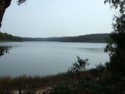
Surface area 38 hectares (94 acres) | Primary inflows Area 38 ha | |
 | ||
Location Similar Point Hicks Marine National Park, Wilsons Promontory Lighthouse, Point Hicks | ||
Wingan inlet bream fishing
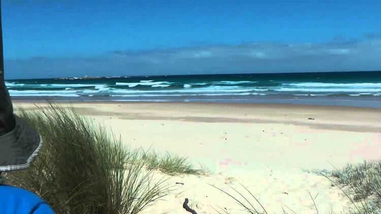
Wingan Inlet is an Inlet within the Croajingolong National Park, in the East Gippsland region of Victoria, Australia.
Contents
- Wingan inlet bream fishing
- Wingan inlet aussie swag campers
- Features and location
- Aboriginal history
- European discovery
- References
Wingan inlet aussie swag campers
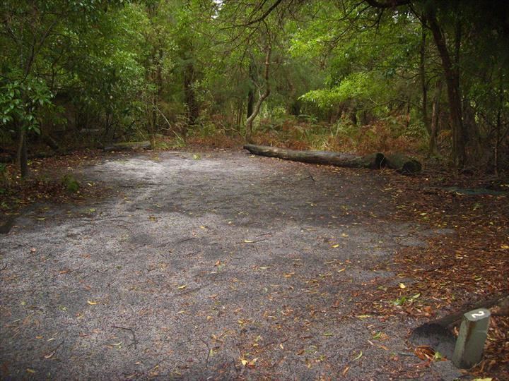
Features and location
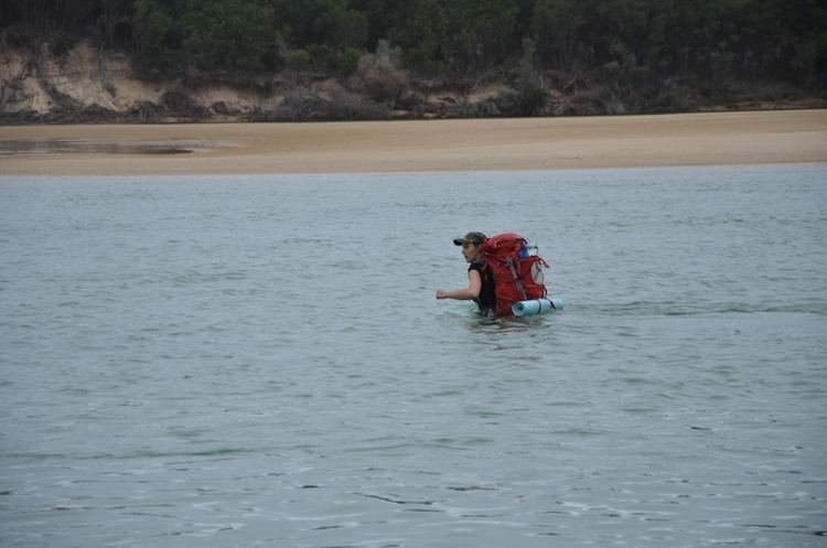
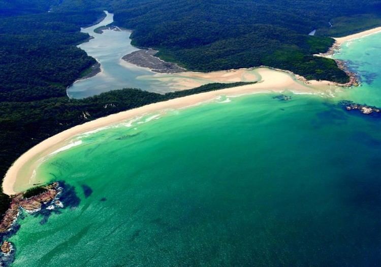
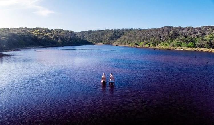
The inlet covers a surface area of 38 hectares (94 acres) and is fed by the Wingan River and provides outflow to the Tasman Sea. It features a ranger-managed camping ground, about an hour's drive from the nearest town, Cann River, along a rough stretch of dirt road. The inlet and its surrounds are home to many species of marine life, including crabs, Sydney rock oysters and other shellfish, as well as birds and small mammals. Paralysis ticks, Lace Monitors and snakes are common.
The Wingan Point headland is located a few metres away from the inlet mouth.
Aboriginal history
The traditional custodians of the land surrounding Wingan Inlet are the Australian Aboriginal Bidhawal and Nindi-Ngudjam Ngarigu Monero peoples.
European discovery
Wingan Inlet is of historical significance; James Cook clearly recorded the existence of the Inlet on his chart - while naming the nearby southern headland, Ram Head on Thursday, April 19, 1770. George Bass took shelter from bad weather near the Inlet, on 20 January 1798 in a 28 feet (8.5 m) whaleboat he named Elizabeth - during his attempt to reach the wreck of the Sydney Cove; that was ran-aground on Preservation Island, in Bass Strait. Wingan Inlet is the only significant geographical feature in the area, that could be described as a lagoon that could provide shelter for a small open boat. Otherwise Bass referred to the sheltered bay and beach area in front of Wingan Inlet, that was named Fly Cove by Bass.[5] Bass' party lost an anchor in the Cove, before continuing to navigate to Wilson's Promontory where they made an attempt to cross Bass Striate to reach the Sydney Cove. Due to bad weather and a leaking boat, Bass was forced to return to the mainland and continued west where he discovered and examined Western Port. On Bass' return voyage, they stopped at the lagoon near Cook's Ram Head to search, unsuccessfully for the whaleboat's anchor. Although Bass' expedition was unsuccessful in reaching the wreck of the Sydney Cove, due to weather and failing equipment. Upon his return to Sydney, Bass conveyed his observations of the tidal change along those parts of the coastline, and his belief of a strait separating The Mainland of Australia and Tasmania. Bass' speculations were confirmed in 1798–99, when he joined Mathew Flinders in the slop Norfolk, when they circumnavigated Tasmania.