
Country United States County Cowley Incorporated 1873 Zip code 67156 | Founded 1870 Elevation 1,129 ft (344 m) Population 12,333 (2013) | |
 | ||
Weather 10°C, Wind N at 13 km/h, 82% Humidity Colleges and Universities | ||
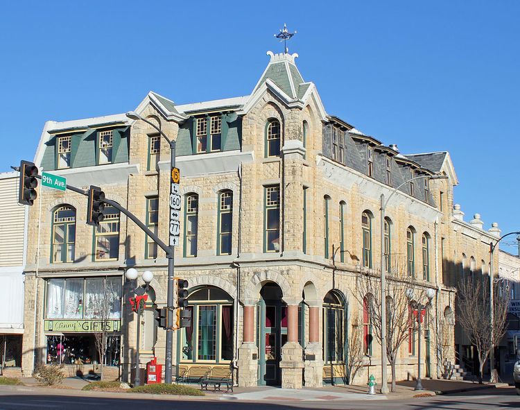
Winfield is a city and county seat of Cowley County, Kansas, United States. It is situated along the Walnut River in South Central Kansas. As of the 2010 census, the city population was 12,301 and second most populous city of Cowley County.
Contents
- Map of Winfield KS USA
- 19th century
- 20th century
- 21st century
- Geography
- Climate
- 2010 census
- 2000 census
- Primary and secondary education
- College
- Radio
- In popular media
- Notable people
- References
Map of Winfield, KS, USA
19th century
Winfield was founded in 1870. It was named for Rev. Winfield Scott, who promised to build the town a church in exchange for the naming rights. The first post office at Winfield was established in May, 1870. In 1873, Winfield incorporated as a city.
In 1877, the Florence, El Dorado, and Walnut Valley Railroad Company built a branch line from Florence to El Dorado, the line was extended to Douglass then reached Winfield on October 1, 1879 and finished at Arkansas City in 1881. The line was leased and operated by the Atchison, Topeka and Santa Fe Railway. The line from Florence to El Dorado was abandoned in 1942. The original branch line connected Florence, Burns, De Graff, El Dorado, Augusta, Douglass, Rock, Akron, Winfield, Arkansas City.
The Southern Kansas and Western Railroad was completed from the east to Winfield on February 17, 1880, then continued westward where it reached the western county line on March 16. This railroad changes its name over time as it merged or purchased by other railroads.
Eventually, a total of 5 railroads passed through Winfield.
20th century
Winfield is home to Southwestern College, a four-year private Methodist college and once also held St. John's College before it closed in 1986.
On August 13, 1903, 30-year-old Gilbert Twigg, armed with a 12-gauge double-barrelled shotgun, opened fire at a concert, killing six people and wounding at least 25, before killing himself. Three others died in hospitals afterward. The incident, while largely forgotten today, has been called "America's first modern mass shooting" as many aspects were similar to more widely publicized and deadlier events in the late 20th and early 21st centuries.
The city is well known for hosting the Walnut Valley Festival, a large bluegrass and acoustic music festival, on the third weekend of every September.
A Crayola manufacturing plant was located in Winfield from 1952 to 1997.
21st century
In 2010, the Keystone-Cushing Pipeline (Phase II) was constructed west of Winfield, north to south through Cowley County, with much controversy over tax exemption and environmental concerns (if a leak ever occurs).
In 2011, Newell Rubbermaid announced it would expand its presence in Winfield by relocating 200 jobs from a facility in Texas to Winfield. Rubbermaid would invest $26.6 million to expand its operations, including a new 500,000 sq. ft. distribution center.
Geography
Winfield is situated along the Walnut River at its confluence with Timber Creek. It is located 17 miles (27 km) north of the Kansas-Oklahoma state border at the junction of U.S. Routes 77 and 160. State highway route K-15 follows U.S. Route 77 to the north of the city and U.S. Route 160 to the east. K-360 is a bypass around the southeastern part of the city between U.S. Route 77 and U.S. Route 160. Arkansas City is 13 miles (21 km) south of Winfield along U.S. Route 77, and Strother Field, a general aviation airport, is about five miles (8 km) south.
According to the United States Census Bureau, the city has a total area of 12.93 square miles (33.49 km2), of which, 11.56 square miles (29.94 km2) is land and 1.37 square miles (3.55 km2) is water.
Climate
Over the course of a year, temperatures range from an average low below 20 °F (−7 °C) in January to an average high of nearly 93 °F (34 °C) in July. The maximum temperature reaches 90 °F (32 °C) an average of 69 days per year and reaches 100 °F (38 °C) an average of 12 days per year. The minimum temperature falls below the freezing point (32 °F) an average of 102 days per year. Typically the first fall freeze occurs between early October and the first week of November, and the last spring freeze occurs during the month of April.
The area receives nearly 38 inches (970 mm) of precipitation during an average year with the largest share being received in May and June—with a combined 20 days of measurable precipitation. During a typical year the total amount of precipitation may be anywhere from 26 to 50 inches (1,300 mm). There are on average 90 days of measurable precipitation per year. Winter snowfall averages almost 12 inches, but the median is less than 3 inches (76 mm). Measurable snowfall occurs an average of 7 days per year with at least an inch of snow being received on four of those days. Snow depth of at least an inch occurs an average of 11 days per year.
2010 census
As of the census of 2010, there were 12,301 people, 4,600 households, and 2,848 families residing in the city. The population density was 1,064.1 inhabitants per square mile (410.9/km2). There were 5,217 housing units at an average density of 451.3 per square mile (174.2/km2). The racial makeup of the city was 85.7% White, 3.9% African American, 1.3% Native American, 3.9% Asian, 1.8% from other races, and 3.4% from two or more races. Hispanic or Latino of any race were 6.1% of the population.
There were 4,600 households of which 32.0% had children under the age of 18 living with them, 44.7% were married couples living together, 12.2% had a female householder with no husband present, 5.1% had a male householder with no wife present, and 38.1% were non-families. 32.5% of all households were made up of individuals and 13.8% had someone living alone who was 65 years of age or older. The average household size was 2.37 and the average family size was 2.98.
The median age in the city was 36.7 years. 23% of residents were under the age of 18; 12% were between the ages of 18 and 24; 25% were from 25 to 44; 24.4% were from 45 to 64; and 15.7% were 65 years of age or older. The gender makeup of the city was 50.7% male and 49.3% female.
2000 census
As of the census of 2000, there were 12,206 people, 4,627 households, and 2,952 families residing in the city. The population density was 1,104.0 people per square mile (426.1/km²). There were 5,049 housing units at an average density of 456.7 per square mile (176.3/km²). The racial makeup of the city was 88.06% White, 3.26% Black or African American, 1.08% Native American, 3.74% Asian, 0.02% Pacific Islander, 1.73% from other races, and 2.12% from two or more races. Hispanic or Latino of any race were 4.66% of the population.
There were 4,627 households out of which 31.9% had children under the age of 18 living with them, 49.6% were married couples living together, 10.7% had a female householder with no husband present, and 36.2% were non-families. 32.4% of all households were made up of individuals and 16.9% had someone living alone who was 65 years of age or older. The average household size was 2.36 and the average family size was 3.00.
In the city, the population was spread out with 24.9% under the age of 18, 11.8% from 18 to 24, 27.4% from 25 to 44, 19.4% from 45 to 64, and 16.6% who were 65 years of age or older. The median age was 36 years. For every 100 females there were 98.5 males. For every 100 females age 18 and over, there were 97.0 males.
The median income for a household in the city was $34,443, and the median income for a family was $44,539. Males had a median income of $31,768 versus $21,605 for females. The per capita income for the city was $19,162. About 9.9% of families and 13.8% of the population were below the poverty line, including 18.6% of those under age 18 and 11.4% of those age 65 or over.
Primary and secondary education
Winfield is part of Winfield USD 465 school district.
College
Southwestern College is located in Winfield. It is a four-year private higher educational institution affiliated with the United Methodist Church.