
County Cowley ZIP codes 67131 Local time Monday 8:57 PM | Time zone Central (CST) (UTC-6) Area 92.6 km² Area code 620 | |
 | ||
Weather 24°C, Wind NE at 18 km/h, 42% Humidity | ||
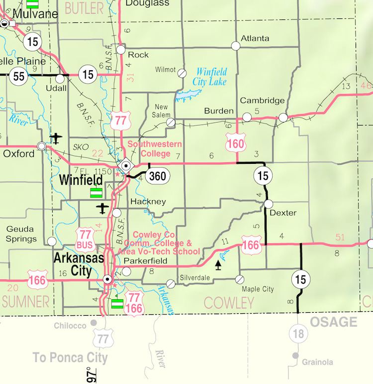
Rock is an unincorporated community in Cowley County, Kansas, United States.
Contents
Map of Rock, KS 67131, USA
19th century
The post office was established August 12, 1870. The nearby Bucher Bridge is on the National Register of Historic Places.
In 1877, the Florence, El Dorado, and Walnut Valley Railroad Company built a branch line from Florence to El Dorado, in 1881 it was extended to Douglass, and later to Arkansas City. The line was leased and operated by the Atchison, Topeka and Santa Fe Railway. The line from Florence to El Dorado was abandoned in 1942. The original branch line connected Florence, Burns, De Graff, El Dorado, Augusta, Douglass, Rock, Akron, Winfield, Arkansas City.
20th century
On Aug 24, 1978, the town was evacuated when a major oxidizer spill at a Titan II ICBM site (533-7) 2.5 miles south of the town. The spill resulted in the deaths of 2 Airmen that were based out of the 381st Strategic Missile Wing, McConnell AFB, approximately 20 miles away.
21st century
In 2010, the Keystone XL Pipeline was constructed about 2.5 miles west of Rock, north to south through Butler County, with much controversy over tax exemption and environmental concerns (if a leak ever occurs). A pumping station named Rock was built along the pipeline.