- elevation 4,798 ft (1,462 m) Length 130 km | - elevation 1,699 ft (518 m) | |
 | ||
- location 39 miles (63 km) northwest of Christian Source Philip Smith Mountains (Alaska) | ||
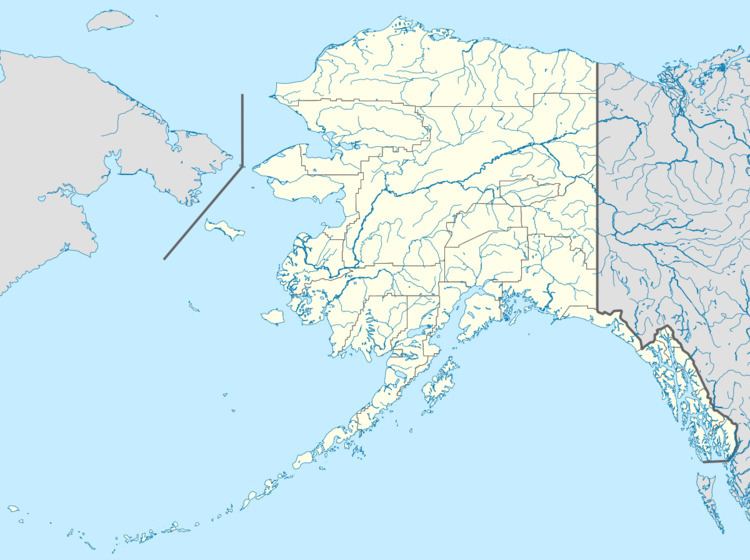
The Wind River is a tributary of the East Fork Chandalar River in the U.S. state of Alaska. It arises in the Philip Smith Mountains of the Brooks Range and flows into the East Fork and eventually into the Yukon River.
Map of Wind River, Alaska, USA
Wind River is a National Wild and Scenic River. The main stem, headwaters, and an unnamed tributary—140 miles (230 km) of streams in total—were designated "wild" in 1980. All lie within the Arctic National Wildlife Refuge.
References
Wind River (Yukon–Koyukuk Census Area, Alaska) Wikipedia(Text) CC BY-SA
