
Population 152 (2011) Civil parish Willingham St Mary Postcode district NR34 7 | OS grid reference TM437852 Sovereign state United Kingdom District Waveney Dialling code 01502 | |
 | ||
Willingham St Mary is a village and civil parish in the English county of Suffolk located about 3.5 miles (6 km) south of Beccles along the A145 in the District of Waveney. The village is joined with Shadingfield and 1.5 miles (2 km) west of Sotterley. At the 2001 census the parish had a population of 155, decreasing slightly to 152 at the 2011 census. A joint parish council covers the parishes of Ellough, Shadingfield, Sotterley and Willingham St Mary.
Contents
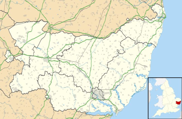
Map of Willingham St Mary, Beccles, UK
The village has few services. Children attend primary school in Brampton and high school in Beccles. The Shadingfield Fox public house is within the parish boundary, although more commonly associated with Shadingfield. The parish church, which was dedicated to St Mary, is no longer standing.
History
At the Domesday survey of 1086, the village of Willingaham formed part of the estates of Hugh de Montfort. It consisted of around 31 families, including at least 15 freemen, and paid 3 geld in taxation.
The village formed part of the estate of Elisabeth Bruisyard in 1281 and passed through various hands, including to the Playters of Sotterley, before becoming part of the estate of the Earl of Gosford who owned the manor in 1846. It consisted of around 1,000 acres and had a population of 156 in 1848, and Wilson's Imperial Gazetteer of England and Wales of 1872 gives the population of the village as 142 in 31 houses. The population has fluctuated slightly, although it has remained largely unchanged since the 1801 census.
Willingham Hall, located to the east of the modern village, dates from the late 16th or early 17th century and is a Grade II listed building. It is located near to the site of the parish church which is believed to have fallen into disrepair at the beginning of the 16th century. The church, which was dedicated to St Mary and existed at the time of the Domesday survey, was recorded as 'scarcely visible' by Suckling in 1846, although some remains could be seen in the 1920s. The parish was united with North Cove in 1526 and consolidated with Ellough following the reformation, the stone from the church probably being used to repair All Saints Church, Ellough and St Margarets Church, Sotterley.
The area around the hall and church are thought to be the site of the medieval village. A number of ditches and pottery finds indicate buildings were located in this area and settlement is shown on a map from the late 18th century. Human bones have been observed in ploughsoil from the former churchyard.