
OS grid reference TM435822 Local time Thursday 3:16 PM District Waveney | Sovereign state United Kingdom Postcode district NR34 Dialling code 01502 | |
 | ||
Weather 10°C, Wind W at 29 km/h, 58% Humidity | ||
Brampton is a village in the English county of Suffolk, located approximately 4 miles (6.4 km) north east of Halesworth, 5 miles (8.0 km) south of Beccles and 9 miles (14 km) south west of Lowestoft. The mid-2005 population estimate for Brampton with Stoven parish was 460. Stoven is located just to the east, Uggeshall to the south-east and Shadingfield to the north.
Map of Brampton, Beccles, UK
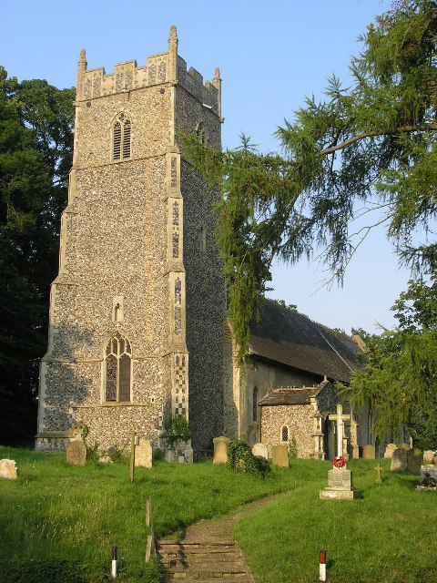
The village is served by Brampton railway station, around 1.5 miles (2.4 km) west of the village, on the Ipswich-Lowestoft East Suffolk Line. The A145 road divides the village and passes the village church which is dedicated to St Peter. Areas of housing, including at Brampton Street, are clustered on both sides of the road throughout the parish area.
Brampton Primary School serves the village and the surrounding area.
The Latitude music festival takes place at Henham Park 3 miles (4.8 km) south of Brampton.
Brampton Hall is a listed country house built in 1794 of red brick for the Leman family who had long associations in the area. The previous Brampton Hall burned down in 1733. A 16th century farmhouse was built on the same site, known as Brampton Old Hall. Both buildings are Grade II listed.