
Country United States FIPS code 36-81963 Elevation 306 m Population 1,043 (2010) Area code 607 | State New York Time zone Eastern (EST) (UTC-5) GNIS feature ID 0979639 Zip code 13863 Local time Monday 1:47 AM | |
 | ||
Weather 1°C, Wind NE at 2 km/h, 94% Humidity Area 67.6 km² (66.56 km² Land / 78 ha Water) | ||
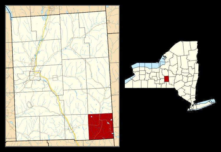
Willet is a town in Cortland County, New York, United States. The population was 1,043 at the 2010 census. The town is named after Colonel Marinus Willet. It is in the southeast corner of the county, southeast of Cortland.
Contents
Map of Willet, NY 13863, USA
History
Willet was within the former Central New York Military Tract. The area was first settled around 1797.
Willet was created from a part of the town of Cincinnatus in 1813. In 1865, the population was 982.
Geography
According to the United States Census Bureau, the town has a total area of 26.1 square miles (67.5 km2), of which 25.7 square miles (66.6 km2) of it is land and 0.31 square miles (0.8 km2), or 1.23%, is water.
The Otselic River flows southward through the town.
The east town line is the border of Chenango County, and the south town line is the border of Broome County.
New York State Route 26 intersects New York State Route 41 at Willet village. New York State Route 221 intersects the conjoined NY-26 and Ny-41 west of the village.
Demographics
As of the census of 2000, there were 1,011 people, 368 households, and 281 families residing in the town. The population density was 39.1 people per square mile (15.1/km²). There were 525 housing units at an average density of 20.3 per square mile (7.8/km²). The racial makeup of the town was 98.42% White, 0.20% Native American, 0.10% Asian, and 1.29% from two or more races.
There were 368 households out of which 37.5% had children under the age of 18 living with them, 60.6% were married couples living together, 10.9% had a female householder with no husband present, and 23.4% were non-families. 18.2% of all households were made up of individuals and 6.8% had someone living alone who was 65 years of age or older. The average household size was 2.75 and the average family size was 3.06.
In the town, the population was spread out with 29.4% under the age of 18, 7.0% from 18 to 24, 29.7% from 25 to 44, 23.3% from 45 to 64, and 10.6% who were 65 years of age or older. The median age was 35 years. For every 100 females there were 105.5 males. For every 100 females age 18 and over, there were 104.0 males.
The median income for a household in the town was $35,893, and the median income for a family was $37,500. Males had a median income of $28,274 versus $21,932 for females. The per capita income for the town was $15,552. About 9.2% of families and 12.9% of the population were below the poverty line, including 17.1% of those under age 18 and 9.8% of those age 65 or over.