
Population 173 (?) Postal code 3393 | Postcode(s) 3393 Local time Monday 3:40 PM | |
 | ||
Location 380 km (236 mi) NW of Melbourne76 km (47 mi) N of Horsham31 km (19 mi) NW of Warracknabeal27 km (17 mi) E of Jeparit Weather 23°C, Wind SE at 10 km/h, 29% Humidity | ||
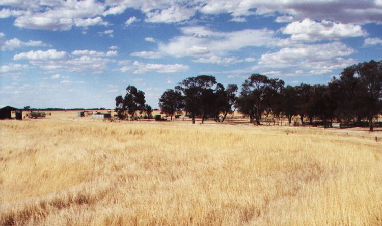
Willenabrina is a small farming district located midway between the towns of Warracknabeal and Rainbow in the Wimmera region of northwest Victoria, Australia.
Contents
Map of Willenabrina VIC 3393, Australia
History
Originally gazetted as a railway township in the late 1880s (the Post Office opened on June 14, 1889 (closed in 1942), Willenabrina failed to develop when the railway line route beyond Warracknabeal was redirected. A few small shops, a school, a community hall, and a couple of churches, existed around the time of the First World War, along with a sports oval and tennis courts, however none of these facilities remain today.
References
Willenabrina, Victoria Wikipedia(Text) CC BY-SA