Coordinates (west end) (east end) Length 85 km (53 mi) | Type Highway | |
 | ||
east end Barrier Highway (A32) at Hallett Via | ||
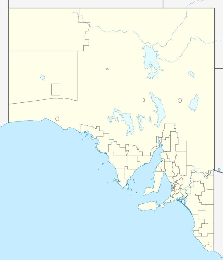
The Wilkins Highway is an east-west route across the Mid North region of South Australia. It runs from the Augusta Highway south of Port Pirie east to the Barrier Highway, at the town of Hallett near where Sir Hubert Wilkins was born.
Map of Wilkins Hwy, South Australia, Australia
References
Wilkins Highway Wikipedia(Text) CC BY-SA
