Local time Tuesday 12:54 PM | ||
 | ||
Weather 29°C, Wind E at 16 km/h, 29% Humidity | ||
Caltowie is a settlement in the Mid North region of South Australia. It is on the Wilkins Highway and the Crystal Brook-Broken Hill railway line between Gladstone and Jamestown.
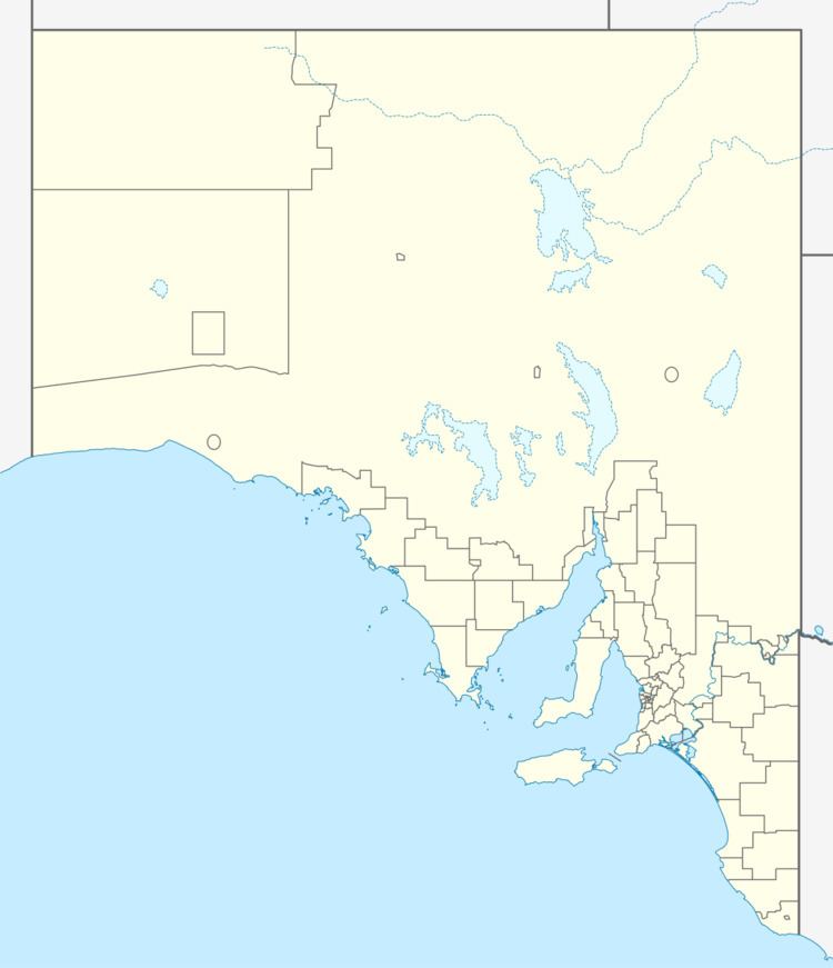
Map of Caltowie SA 5490, Australia
Caltowie was first known to European settlers as 'Carcowie' (meaning lizard's water hole), and became a popular stop for teamsters where they crossed the Yackamoorundie Creek.
References
Caltowie, South Australia Wikipedia(Text) CC BY-SA
