
- elevation 2,040 m (6,693 ft) - elevation 1,499 m (4,918 ft) | ||
 | ||
- right Meul River, Cornelis River | ||
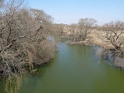
The Wilge River (Afrikaans: Wilgerivier, meaning "willow river") is a tributary of the Vaal River in central South Africa. This river is important as part of the Tugela-Vaal Water Transfer Scheme where water is transferred from the Tugela River basin to the Vaal River basin.
Contents
Map of Wilgerivier, South Africa
The largemouth yellowfish is present in the waters of the Wilge River, reaching quite a large size.
Course
Its sources are about 50 km northeast of Harrismith, at the border with KwaZulu-Natal. In its upper course the river flows roughly southwestwards from its source, then westwards while bending northwards towards Harrismith, skirting the southern end of the Platberg where there is the confluence with the Nuwejaarspruit from the left.
Further north the Elands River joins its left bank. Then the Meul River and the Cornelis River join its right bank. It continues flowing in a NNW direction, being joined by the Liebenbergsvlei from the left, while passing near Frankfort and flowing northwestwards until it finally meets the Vaal at the Vaal Dam further downstream.