
District Göttingen Time zone CET/CEST (UTC+1/+2) Area 6.53 km² Population 1,376 (31 Dec 2008) | Elevation 375 m (1,230 ft) Postal codes 37447 Local time Sunday 9:05 PM Postal code 37447 Dialling code 05586 | |
 | ||
Weather 10°C, Wind N at 6 km/h, 80% Humidity | ||
Wieda is a village and a former municipality in the district of Göttingen, in Lower Saxony, Germany. Since 1 November 2016, it is part of the municipality Walkenried.
Contents
Map of 37447 Wieda, Germany
Wieda is on River Wieda, a tributary of Zorge in the southern part of the Harz mountains.
Sights
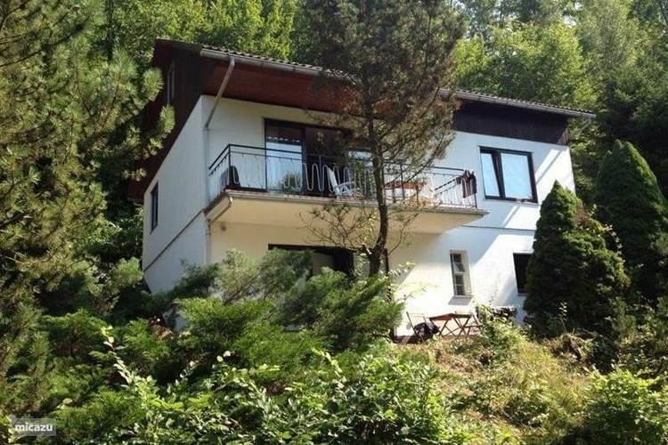
There are many well-preserved half-timbered houses in the center of Wieda, for example in the High Street close to the wooden Town Hall. The Old Clock Tower is on the top of a hill offering a scenic view of the municipality and its surroundings. Lutherkirche is the protestant town church which was built in 1770.
References
Wieda Wikipedia(Text) CC BY-SA