
OS grid reference TQ336583 Shire county SurreyGreater London Local time Sunday 5:31 PM | Civil parish Whyteleafe Area 217 ha | |
 | ||
Population 3,900 (Civil Parish 2011) Weather 15°C, Wind NW at 10 km/h, 51% Humidity Districts Tandridge District, London Borough of Croydon | ||
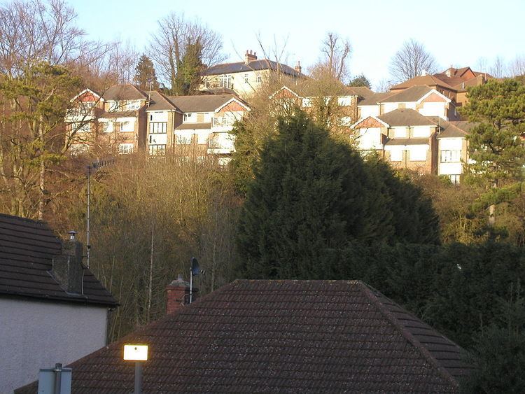
Whyteleafe is a village in the district of Tandridge, Surrey, England, with a few streets falling inside the London Borough of Croydon. The village, situated in a dry valley of the North Downs, has three railway stations (on two parallel lines). Neighbouring villages and towns include Woldingham, Caterham, Coulsdon, Warlingham, and Kenley. To the west are Kenley Aerodrome, Kenley Common (owned by the Corporation), Coxes Wood, and Blize Wood. To the east are Riddlesdown, the Dobbin, and Marden Park. The churchyard contains graves of airmen who died during WW2, stationed at RAF Kenley nearby.
Contents
Map of Whyteleafe, UK
History
The village name comes from the distinctive white underside of the whitebeam trees growing in the area. In 1855 Nathaniel Glover purchased White Leaf field and George Henry Drew later completed the building that was called "White Leafe House". By 1881 the surrounding area had become known as "Whiteleafe". As with Kenley the history of its land before that was that of other parishes, in this case Caterham and to a lesser extent Warlingham and Coulsdon.
Its first primary school was built in 1892, enlarged in 1900 and again in 1907.
In 1911 the population of Whyteleafe was "now larger than that of Warlingham village...A county council secondary school for girls has been set up in this year (1911)."
Amenities
Whyteleafe has: a large pub, a newsagent, general store, two petrol stations and an M&S food outlet, a Post Office, hairdresser, chemist, ladies' outfitter, baker, fish shop, barber and a e-cigarette store.
To the south of Whyteleafe are the headquarters of Gold Group International, the largest employer in the parish boundaries.
Whyteleafe School, a county-supported primary school is at the bottom of Whyteleafe Hill. It makes use of the site of the former Whyteleafe Girls' Grammar School, vacated in the late 1970s. Warlingham School (secondary) is at the top of Tithe Pit Shaw Lane, on the edge of Whyteleafe in the east.
The C of E church of St Luke was built in 1866, founded as a new parish in the Diocese of Southwark.
Transport
There are three railway stations: Whyteleafe South, Whyteleafe and Upper Warlingham. All trains at all 3 stations are operated by Southern. The Godstone road (A22) cuts through north to south. Buses 407 and 434 serve the area and run from Coulsdon, Croydon, Sutton, and Caterham. Whyteleafe village grew after the railway came on its way to Caterham in 1856. A second line, the Oxted Line, following a slightly higher contour, opened in 1884. It serves different destinations to the south but also runs to London Bridge or Victoria.
Sport and leisure
Whyteleafe F.C. is the main football club with various teams and has played in grounds in Church Road since 1959, when it moved from the field off New Barn Lane, used by adjacent Kenley School. Its adult men's team play in the Isthmian League.
Separate from its ground in the west of town is the large recreation ground below wooded hills in the east of town which has informal sports fields and a playground.
Demography and housing
The average level of accommodation in the region composed of detached houses was 28%, the average that was apartments was 22.6%.
The proportion of households in the civil parish who owned their home outright compares to the regional average of 35.1%. The proportion who owned their home with a loan compares to the regional average of 32.5%. The remaining % is made up of rented dwellings (plus a negligible % of households living rent-free).